Wuchagou geodata
Wuchagou (Inner Mongolia) is a seat of a fourth-order administrative division; located in China in Asia/Shanghai (GMT+8) time zone. In our database, there are 1268 cities with bigger population. Compared to other cities in China, 96.4% of cities are located further ↓South; 83.9% of cities are located further ←West and 84.9% of cities have lower elevation than Wuchagou. Note1


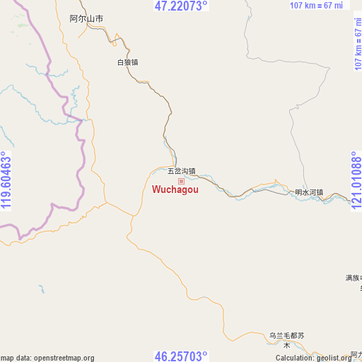
Wuchagou GPS coordinates[2]
46° 44' 27.708" North, 120° 18' 27.9" East
| Map corner | latitude | longitude |
|---|---|---|
| Upper-left | 47.22073°, | 119.60463° |
| Center: | 46.74103°, | 120.30775° |
| Lower-right: | 46.25703°, | 121.01088° |
| Map W x H: | 107.2×107.2 km | = 66.6×66.6mi |
| max Lat: | 53.31946° ⇑3.6% North |
| Wuchagou: | 46.74103° |
| min Lat: | ⇓96.4% South 18.22056° |
| min Long | Wuchagou | max Long |
| 75.07348° | 120.30775° | 134.28917° |
| W 83.9%⇐ | ⇒16.1% E |
Elevation
Elevation of Wuchagou is 978 m = 3209 ft, and this is 493.2 m = 1618 ft above average elevation for this country.
| Max E: |
5622 m = 18445 ft | 15.1% |
| Wuchagou | 978 m 3209 ft | |
| Avg. | 484.8 m = 1591 ft | |
Min E: |
-3 m = -10 ft | 84.9% |
See also: China elevation on elevation.city.
Geographical zone
Wuchagou is located in North temperate zone (between Tropic of Cancer and the Arctic Circle). Distance of this North polar circle is 2204.1 km =1369.6 mi to North.| Distance of | km | miles | from Wuchagou |
|---|---|---|---|
| North Pole | 4809.9 | 2988.7 | to North |
| Arctic Circle | 2204.1 | 1369.6 | to North |
| Tropic Cancer | 2591.2 | 1610.1 | to South |
| Equator | 5197.1 | 3229.3 | to South |


Nearby cities:
15 places around Wuchagou: (largest is in red/bold)
• Baoshi
122.1 km =75.9 mi,  147°
147°
• Chaihe
117.9 km =73.3 mi,  39°
39°
• Guji
117.2 km =72.8 mi,  129°
129°
• Haduohe
139.7 km =86.8 mi,  67°
67°
• Handgai
108.8 km =67.6 mi,  320°
320°
• Haoraoshan
113.4 km =70.5 mi,  62°
62°
• Har Nur
123.9 km =77 mi,  188°
188°
• Mingshuihe
31.9 km =19.8 mi,  106°
106°
• Mositai
142.9 km =88.8 mi,  200°
200°
• Shumugou
74.2 km =46.1 mi, 149°
• Tule Mod
139.3 km =86.6 mi,  161°
161°
• Wenquan
55.5 km =34.5 mi,  330°
330°
• Wenquan
55.6 km =34.5 mi, 332°
• Xuetian
140.4 km =87.2 mi, 148°
• Yirshi
75.2 km =46.7 mi, 325°
Sources, notices
• [Note1] Compared only with cities in China existing in our database
• [Src1] Map data: © OpenStreetMap contributors (CC-BY-SA)
• [Src2] Other city data from geonames.org with taken over terms of usage.
• [Src3] Geographical zone / Annual Mean Temperature by Robert A. Rohde @ Wikipedia
