Yirshi geodata
Yirshi (Inner Mongolia) is a seat of a fourth-order administrative division; located in China in Asia/Shanghai (GMT+8) time zone. In our database, there are 1268 cities with bigger population. Compared to other cities in China, 97.5% of cities are located further ↓South; 80.2% of cities are located further ←West and 83.3% of cities have lower elevation than Yirshi. Note1


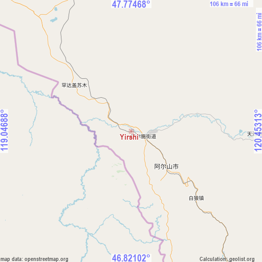
Yirshi GPS coordinates[2]
47° 18' 0" North, 119° 45' 0" East
| Map corner | latitude | longitude |
|---|---|---|
| Upper-left | 47.77468°, | 119.04688° |
| Center: | 47.3°, | 119.75° |
| Lower-right: | 46.82102°, | 120.45313° |
| Map W x H: | 106×106 km | = 65.9×65.9mi |
| max Lat: | 53.31946° ⇑2.5% North |
| Yirshi: | 47.3° |
| min Lat: | ⇓97.5% South 18.22056° |
| min Long | Yirshi | max Long |
| 75.07348° | 119.75° | 134.28917° |
| W 80.2%⇐ | ⇒19.8% E |
Elevation
Elevation of Yirshi is 868 m = 2848 ft, and this is 383.2 m = 1257 ft above average elevation for this country.
| Max E: |
5622 m = 18445 ft | 16.7% |
| Yirshi | 868 m 2848 ft | |
| Avg. | 484.8 m = 1591 ft | |
Min E: |
-3 m = -10 ft | 83.3% |
See also: China elevation on elevation.city.
Geographical zone
Yirshi is located in North temperate zone (between Tropic of Cancer and the Arctic Circle). Distance of this North polar circle is 2141.9 km =1330.9 mi to North.| Distance of | km | miles | from Yirshi |
|---|---|---|---|
| North Pole | 4747.8 | 2950.1 | to North |
| Arctic Circle | 2141.9 | 1330.9 | to North |
| Tropic Cancer | 2653.3 | 1648.7 | to South |
| Equator | 5259.3 | 3268 | to South |


Nearby cities:
15 places around Yirshi: (largest is in red/bold)
• Alatan Hada
74 km =46 mi,  351°
351°
• Chaihe
120.4 km =74.8 mi,  76°
76°
• Handgai
34.5 km =21.4 mi,  310°
310°
• Haoraoshan
142.6 km =88.6 mi,  94°
94°
• Honghua’erji
109.3 km =67.9 mi,  9°
9°
• Mingshuihe
101.9 km =63.3 mi,  134°
134°
• Shumugou
149.3 km =92.8 mi,  147°
147°
• Sugehe
146.9 km =91.3 mi,  49°
49°
• Ta’erqi
132.1 km =82.1 mi,  55°
55°
• Wenquan
20.4 km =12.7 mi, 132°
• Wenquan
20.9 km =13 mi, 128°
• Wuchagou
75.2 km =46.7 mi, 145°
• Wu’erbu Baolige
100.4 km =62.4 mi,  328°
328°
• Xinbaoli Gexi
145 km =90.1 mi,  321°
321°
• Yiminhe
143.1 km =88.9 mi,  0°
0°
Sources, notices
• [Note1] Compared only with cities in China existing in our database
• [Src1] Map data: © OpenStreetMap contributors (CC-BY-SA)
• [Src2] Other city data from geonames.org with taken over terms of usage.
• [Src3] Geographical zone / Annual Mean Temperature by Robert A. Rohde @ Wikipedia
