Sunhe geodata
Sunhe (Beijing) is a seat of a fourth-order administrative division; located in China in Asia/Shanghai (GMT+8) time zone. In our database, there are 1268 cities with bigger population. Compared to other cities in China, 86.5% of cities are located further ↓South; 63.2% of cities are located further ←West and 75.7% of cities have higher elevation than Sunhe. Note1


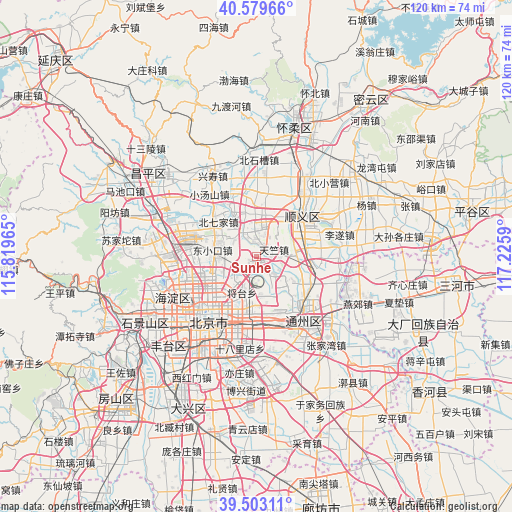
Sunhe GPS coordinates[2]
40° 2' 36.636" North, 116° 31' 21.972" East
| Map corner | latitude | longitude |
|---|---|---|
| Upper-left | 40.57966°, | 115.81965° |
| Center: | 40.04351°, | 116.52277° |
| Lower-right: | 39.50311°, | 117.2259° |
| Map W x H: | 119.7×119.7 km | = 74.4×74.4mi |
| max Lat: | 53.31946° ⇑13.5% North |
| Sunhe: | 40.04351° |
| min Lat: | ⇓86.5% South 18.22056° |
| min Long | Sunhe | max Long |
| 75.07348° | 116.52277° | 134.28917° |
| W 63.2%⇐ | ⇒36.8% E |
Elevation
Elevation of Sunhe is 35 m = 115 ft, and this is 449.8 m = 1476 ft below average elevation for this country.
| Max E: |
5622 m = 18445 ft | 75.7% |
| Avg. | 484.8 m = 1591 ft | |
| Sunhe | 35 m = 115 ft | |
Min E: |
-3 m = -10 ft | 24.3% |
See also: China elevation on elevation.city.
Geographical zone
Sunhe is located in North temperate zone (between Tropic of Cancer and the Arctic Circle). Distance of this Northern Tropic circle is 1846.5 km =1147.4 mi to South.| Distance of | km | miles | from Sunhe |
|---|---|---|---|
| North Pole | 5554.6 | 3451.5 | to North |
| Arctic Circle | 2948.8 | 1832.3 | to North |
| Tropic Cancer | 1846.5 | 1147.4 | to South |
| Equator | 4452.4 | 2766.6 | to South |


Nearby cities:
15 places around Sunhe: (largest is in red/bold)
• Beiqijia
12.2 km =7.6 mi,  312°
312°
• Chaowai
15.9 km =9.9 mi,  208°
208°
• Datun
10.9 km =6.8 mi,  235°
235°
• Dongba
9.4 km =5.8 mi,  164°
164°
• Dongfeng
12.1 km =7.5 mi,  189°
189°
• Dongxiaokou
10.3 km =6.4 mi,  278°
278°
• Gaoliying
14.3 km =8.9 mi,  350°
350°
• Jinzhan
5.9 km =3.7 mi,  136°
136°
• Laiguangying
7.9 km =4.9 mi,  254°
254°
• Liqiao
9.6 km =6 mi,  77°
77°
• Nanfaxin
11 km =6.8 mi,  38°
38°
• Shengli
13.2 km =8.2 mi,  50°
50°
• Shunyi
13.7 km =8.5 mi, 50°
• Tianzhu
4.7 km =2.9 mi,  70°
70°
• Wangjing
7 km =4.3 mi,  217°
217°
Sources, notices
• [Note1] Compared only with cities in China existing in our database
• [Src1] Map data: © OpenStreetMap contributors (CC-BY-SA)
• [Src2] Other city data from geonames.org with taken over terms of usage.
• [Src3] Geographical zone / Annual Mean Temperature by Robert A. Rohde @ Wikipedia
