Qagan Obo geodata
Qagan Obo (Inner Mongolia) is a seat of a fourth-order administrative division; located in China in Asia/Shanghai (GMT+8) time zone. In our database, there are 1268 cities with bigger population. Compared to other cities in China, 93.1% of cities are located further ↓South; 63.8% of cities are located further →East and 85.5% of cities have lower elevation than Qagan Obo. Note1


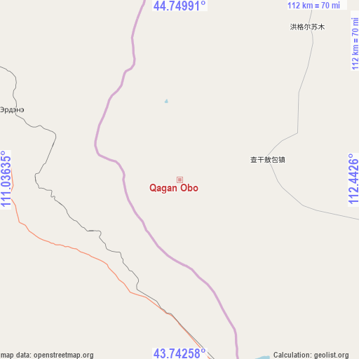
Qagan Obo GPS coordinates[2]
44° 14' 54.24" North, 111° 44' 22.092" East
| Map corner | latitude | longitude |
|---|---|---|
| Upper-left | 44.74991°, | 111.03635° |
| Center: | 44.2484°, | 111.73947° |
| Lower-right: | 43.74258°, | 112.4426° |
| Map W x H: | 112×112 km | = 69.6×69.6mi |
| max Lat: | 53.31946° ⇑6.9% North |
| Qagan Obo: | 44.2484° |
| min Lat: | ⇓93.1% South 18.22056° |
| min Long | Qagan Obo | max Long |
| 75.07348° | 111.73947° | 134.28917° |
| W 36.2%⇐ | ⇒63.8% E |
Elevation
Elevation of Qagan Obo is 1016 m = 3333 ft, and this is 531.2 m = 1743 ft above average elevation for this country.
| Max E: |
5622 m = 18445 ft | 14.5% |
| Qagan Obo | 1016 m 3333 ft | |
| Avg. | 484.8 m = 1591 ft | |
Min E: |
-3 m = -10 ft | 85.5% |
See also: China elevation on elevation.city.
Geographical zone
Qagan Obo is located in North temperate zone (between Tropic of Cancer and the Arctic Circle). Distance of this Northern Tropic circle is 2314 km =1437.9 mi to South.| Distance of | km | miles | from Qagan Obo |
|---|---|---|---|
| North Pole | 5087.1 | 3161 | to North |
| Arctic Circle | 2481.2 | 1541.7 | to North |
| Tropic Cancer | 2314 | 1437.9 | to South |
| Equator | 4920 | 3057.1 | to South |


Nearby cities:
15 places around Qagan Obo: (largest is in red/bold)
• Bahaodi
278.7 km =173.2 mi,  158°
158°
• Bayan Tug
242.2 km =150.5 mi,  72°
72°
• Bieligutai
259.7 km =161.4 mi,  95°
95°
• Dalai
107.7 km =66.9 mi, 67°
• Erenhot
69.5 km =43.2 mi, 164°
• Honggor
61.7 km =38.3 mi,  36°
36°
• Huashanzi
294.7 km =183.1 mi,  171°
171°
• Jigun Tala
289.7 km =180 mi, 160°
• Kulun
287 km =178.3 mi, 164°
• Mandalt
164.3 km =102.1 mi,  106°
106°
• Naran Bulag
193.5 km =120.2 mi,  77°
77°
• Saihan Tal
183.6 km =114.1 mi, 156°
• Sanjinquan
285.2 km =177.2 mi, 161°
• Tumu’ertai
290.8 km =180.7 mi, 156°
• Xin Bulag
280.8 km =174.5 mi,  142°
142°
Sources, notices
• [Note1] Compared only with cities in China existing in our database
• [Src1] Map data: © OpenStreetMap contributors (CC-BY-SA)
• [Src2] Other city data from geonames.org with taken over terms of usage.
• [Src3] Geographical zone / Annual Mean Temperature by Robert A. Rohde @ Wikipedia
