Harbin geodata
Harbin (Heilongjiang) is a seat of a first-order administrative division; located in China in Asia/Shanghai (GMT+8) time zone. With population of 5,878,939 people, there are 14 cities with bigger population in this country. Compared to other cities in China, 94.6% of cities are located further ↓South; 96.2% of cities are located further ←West and 53.5% of cities have higher elevation than Harbin. Note1


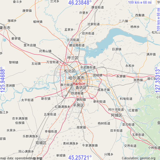
Harbin GPS coordinates[2]
45° 45' 0" North, 126° 39' 0" East
| Map corner | latitude | longitude |
|---|---|---|
| Upper-left | 46.23848°, | 125.94688° |
| Center: | 45.75°, | 126.65° |
| Lower-right: | 45.25721°, | 127.35313° |
| Map W x H: | 109.1×109.1 km | = 67.8×67.8mi |
| max Lat: | 53.31946° ⇑5.4% North |
| Harbin: | 45.75° |
| min Lat: | ⇓94.6% South 18.22056° |
| min Long | Harbin | max Long |
| 75.07348° | 126.65° | 134.28917° |
| W 96.2%⇐ | ⇒3.8% E |
Elevation
Elevation of Harbin is 140 m = 459 ft, and this is 344.8 m = 1131 ft below average elevation for this country.
| Max E: |
5622 m = 18445 ft | 53.5% |
| Avg. | 484.8 m = 1591 ft | |
| Harbin | 140 m = 459 ft | |
Min E: |
-3 m = -10 ft | 46.5% |
See also: Harbin elevation on elevation.city.
Geographical zone
Harbin is located in North temperate zone (between Tropic of Cancer and the Arctic Circle). Distance of this North polar circle is 2314.3 km =1438 mi to North.| Distance of | km | miles | from Harbin |
|---|---|---|---|
| North Pole | 4920.1 | 3057.2 | to North |
| Arctic Circle | 2314.3 | 1438 | to North |
| Tropic Cancer | 2481 | 1541.6 | to South |
| Equator | 5086.9 | 3160.9 | to South |


Nearby cities:
15 places around Harbin: (largest is in red/bold)
• Acheng
34.1 km =21.2 mi,  131°
131°
• Ashihe
34.6 km =21.5 mi, 133°
• Changling
33 km =20.5 mi,  358°
358°
• Feiketu
38.4 km =23.9 mi,  90°
90°
• Hulan
26.2 km =16.3 mi,  351°
351°
• Juyuan
32.8 km =20.4 mi,  49°
49°
• Liaodian
34 km =21.1 mi,  112°
112°
• Mengjia
35.3 km =21.9 mi, 347°
• Sheli
29.9 km =18.6 mi, 133°
• Shuangjing
32.4 km =20.1 mi,  9°
9°
• Tangfang
36.2 km =22.5 mi,  60°
60°
• Xiangyang
21.2 km =13.2 mi, 89°
• Yonghe
35.3 km =21.9 mi,  73°
73°
• Yonghe
36.4 km =22.6 mi,  76°
76°
• Yongyuan
27.9 km =17.3 mi, 84°
Sources, notices
• [Note1] Compared only with cities in China existing in our database
• [Src1] Map data: © OpenStreetMap contributors (CC-BY-SA)
• [Src2] Other city data from geonames.org with taken over terms of usage.
• [Src3] Geographical zone / Annual Mean Temperature by Robert A. Rohde @ Wikipedia
