Guyuan geodata
Guyuan (Inner Mongolia) is a seat of a fourth-order administrative division; located in China in Asia/Shanghai (GMT+8) time zone. In our database, there are 1268 cities with bigger population. Compared to other cities in China, 99.8% of cities are located further ↓South; 94.2% of cities are located further ←West and 71.9% of cities have lower elevation than Guyuan. Note1


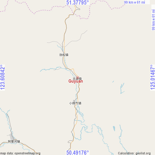
Guyuan GPS coordinates[2]
50° 56' 13.092" North, 124° 18' 41.544" East
| Map corner | latitude | longitude |
|---|---|---|
| Upper-left | 51.37795°, | 123.60842° |
| Center: | 50.93697°, | 124.31154° |
| Lower-right: | 50.49176°, | 125.01467° |
| Map W x H: | 98.5×98.5 km | = 61.2×61.2mi |
| max Lat: | 53.31946° ⇑0.2% North |
| Guyuan: | 50.93697° |
| min Lat: | ⇓99.8% South 18.22056° |
| min Long | Guyuan | max Long |
| 75.07348° | 124.31154° | 134.28917° |
| W 94.2%⇐ | ⇒5.8% E |
Elevation
Elevation of Guyuan is 450 m = 1476 ft, and this is 34.8 m = 114 ft below average elevation for this country.
| Max E: |
5622 m = 18445 ft | 28.1% |
| Avg. | 484.8 m = 1591 ft | |
| Guyuan | 450 m = 1476 ft | |
Min E: |
-3 m = -10 ft | 71.9% |
See also: China elevation on elevation.city.
Geographical zone
Guyuan is located in North temperate zone (between Tropic of Cancer and the Arctic Circle). Distance of this North polar circle is 1737.5 km =1079.6 mi to North.| Distance of | km | miles | from Guyuan |
|---|---|---|---|
| North Pole | 4343.4 | 2698.9 | to North |
| Arctic Circle | 1737.5 | 1079.6 | to North |
| Tropic Cancer | 3057.7 | 1900 | to South |
| Equator | 5663.7 | 3519.3 | to South |


Nearby cities:
15 places around Guyuan: (largest is in red/bold)
• Dawusu
97 km =60.3 mi,  8°
8°
• Dayangqi
17.4 km =10.8 mi,  293°
293°
• Ganhe
90.9 km =56.5 mi,  249°
249°
• Guli
105.6 km =65.6 mi,  156°
156°
• Hongtu
77.2 km =48 mi,  351°
351°
• Huyuan
104.4 km =64.9 mi,  330°
330°
• Jiagedaqi
59.5 km =37 mi,  193°
193°
• Jinsong
17.3 km =10.7 mi, 329°
• Jiwen
88.8 km =55.2 mi,  243°
243°
• Linhai
73.5 km =45.7 mi,  2°
2°
• Oroqen Zizhiqi
58.7 km =36.5 mi,  225°
225°
• Tayuan
57.3 km =35.6 mi,  356°
356°
• Xiaoyangqi
15.4 km =9.6 mi, 187°
• Xinlin
84.9 km =52.8 mi, 1°
• Xintian
30.5 km =19 mi, 346°
Sources, notices
• [Note1] Compared only with cities in China existing in our database
• [Src1] Map data: © OpenStreetMap contributors (CC-BY-SA)
• [Src2] Other city data from geonames.org with taken over terms of usage.
• [Src3] Geographical zone / Annual Mean Temperature by Robert A. Rohde @ Wikipedia
