Dongsheng geodata
Dongsheng (Heilongjiang) is a seat of a fourth-order administrative division; located in China in Asia/Shanghai (GMT+8) time zone. In our database, there are 1268 cities with bigger population. Compared to other cities in China, 98.7% of cities are located further ↓South; 96.2% of cities are located further ←West and 61.5% of cities have lower elevation than Dongsheng. Note1


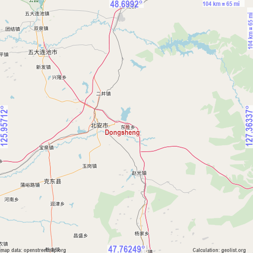
Dongsheng GPS coordinates[2]
48° 13' 58.764" North, 126° 39' 36.864" East
| Map corner | latitude | longitude |
|---|---|---|
| Upper-left | 48.6992°, | 125.95712° |
| Center: | 48.23299°, | 126.66024° |
| Lower-right: | 47.76249°, | 127.36337° |
| Map W x H: | 104.2×104.2 km | = 64.7×64.7mi |
| max Lat: | 53.31946° ⇑1.3% North |
| Dongsheng: | 48.23299° |
| min Lat: | ⇓98.7% South 18.22056° |
| min Long | Dongsheng | max Long |
| 75.07348° | 126.66024° | 134.28917° |
| W 96.2%⇐ | ⇒3.8% E |
Elevation
Elevation of Dongsheng is 277 m = 909 ft, and this is 207.8 m = 682 ft below average elevation for this country.
| Max E: |
5622 m = 18445 ft | 38.5% |
| Avg. | 484.8 m = 1591 ft | |
| Dongsheng | 277 m = 909 ft | |
Min E: |
-3 m = -10 ft | 61.5% |
See also: China elevation on elevation.city.
Geographical zone
Dongsheng is located in North temperate zone (between Tropic of Cancer and the Arctic Circle). Distance of this North polar circle is 2038.2 km =1266.5 mi to North.| Distance of | km | miles | from Dongsheng |
|---|---|---|---|
| North Pole | 4644.1 | 2885.7 | to North |
| Arctic Circle | 2038.2 | 1266.5 | to North |
| Tropic Cancer | 2757.1 | 1713.2 | to South |
| Equator | 5363 | 3332.4 | to South |


Nearby cities:
15 places around Dongsheng: (largest is in red/bold)
• Aiguo
55.3 km =34.4 mi,  200°
200°
• Baoquan
34.5 km =21.4 mi,  256°
256°
• Bei’an
5.8 km =3.6 mi,  310°
310°
• Changsheng
48.7 km =30.3 mi, 202°
• Chengjiao
11.4 km =7.1 mi, 264°
• Erjing
21.2 km =13.2 mi,  300°
300°
• Haixing
55.9 km =34.7 mi,  160°
160°
• Henan
56.1 km =34.9 mi,  238°
238°
• Mingshan
34.9 km =21.7 mi, 244°
• Qianfeng
59.3 km =36.8 mi,  211°
211°
• Runjin
42.6 km =26.5 mi,  222°
222°
• Shuangqing
36 km =22.4 mi, 213°
• Tongbei
52 km =32.3 mi,  171°
171°
• Yangjia
44.4 km =27.6 mi, 171°
• Zhuxing Chaoxianzu
60.9 km =37.8 mi, 157°
Sources, notices
• [Note1] Compared only with cities in China existing in our database
• [Src1] Map data: © OpenStreetMap contributors (CC-BY-SA)
• [Src2] Other city data from geonames.org with taken over terms of usage.
• [Src3] Geographical zone / Annual Mean Temperature by Robert A. Rohde @ Wikipedia
