Xibin geodata
Xibin (Fujian) is a seat of a fourth-order administrative division; located in China in Asia/Shanghai (GMT+8) time zone. In our database, there are 1268 cities with bigger population. Compared to other cities in China, 87.2% of cities are located further ↑North; 74% of cities are located further ←West and 95.9% of cities have higher elevation than Xibin. Note1


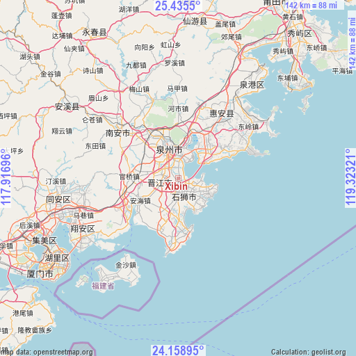
Xibin GPS coordinates[2]
24° 47' 55.932" North, 118° 37' 12.288" East
| Map corner | latitude | longitude |
|---|---|---|
| Upper-left | 25.4355°, | 117.91696° |
| Center: | 24.79887°, | 118.62008° |
| Lower-right: | 24.15895°, | 119.32321° |
| Map W x H: | 141.9×141.9 km | = 88.2×88.2mi |
| max Lat: | 53.31946° ⇑87.2% North |
| Xibin: | 24.79887° |
| min Lat: | ⇓12.8% South 18.22056° |
| min Long | Xibin | max Long |
| 75.07348° | 118.62008° | 134.28917° |
| W 74%⇐ | ⇒26% E |
Elevation
Elevation of Xibin is 6 m = 20 ft, and this is 478.8 m = 1571 ft below average elevation for this country.
| Max E: |
5622 m = 18445 ft | 95.9% |
| Avg. | 484.8 m = 1591 ft | |
| Xibin | 6 m = 20 ft | |
Min E: |
-3 m = -10 ft | 4.1% |
See also: China elevation on elevation.city.
Geographical zone
Xibin is located in North temperate zone (between Tropic of Cancer and the Arctic Circle). Distance of this Northern Tropic circle is 151.5 km =94.1 mi to South.| Distance of | km | miles | from Xibin |
|---|---|---|---|
| North Pole | 7249.7 | 4504.8 | to North |
| Arctic Circle | 4643.8 | 2885.5 | to North |
| Tropic Cancer | 151.5 | 94.1 | to South |
| Equator | 2757.4 | 1713.4 | to South |


Nearby cities:
15 places around Xibin: (largest is in red/bold)
• Anhai
17.5 km =10.9 mi,  239°
239°
• Baiqi
12.9 km =8 mi,  43°
43°
• Chendai
3.3 km =2.1 mi,  321°
321°
• Chidian
8.4 km =5.2 mi,  325°
325°
• Cizao
13.5 km =8.4 mi,  280°
280°
• Dongyuan
18.8 km =11.7 mi,  45°
45°
• Fashi
9.2 km =5.7 mi,  359°
359°
• Jinjiang
5.2 km =3.2 mi,  296°
296°
• Longhu
14 km =8.7 mi,  180°
180°
• Maping
14.2 km =8.8 mi,  208°
208°
• Neikeng
16.2 km =10.1 mi,  264°
264°
• Quanzhou
13.2 km =8.2 mi,  344°
344°
• Shishi
6.6 km =4.1 mi,  172°
172°
• Yakou
14.2 km =8.8 mi, 173°
• Yongning
15 km =9.3 mi,  151°
151°
Sources, notices
• [Note1] Compared only with cities in China existing in our database
• [Src1] Map data: © OpenStreetMap contributors (CC-BY-SA)
• [Src2] Other city data from geonames.org with taken over terms of usage.
• [Src3] Geographical zone / Annual Mean Temperature by Robert A. Rohde @ Wikipedia
