Baihe geodata
Baihe (Shanghai) is a seat of a fourth-order administrative division; located in China in Asia/Shanghai (GMT+8) time zone. In our database, there are 1268 cities with bigger population. Compared to other cities in China, 56.7% of cities are located further ↓South; 88.3% of cities are located further ←West and 92.7% of cities have higher elevation than Baihe. Note1


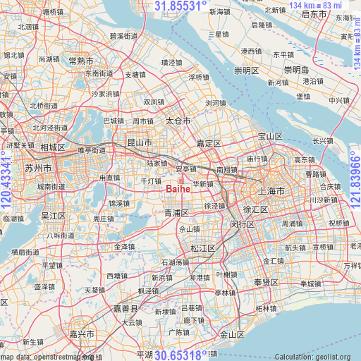
Baihe GPS coordinates[2]
31° 15' 22.176" North, 121° 8' 11.508" East
| Map corner | latitude | longitude |
|---|---|---|
| Upper-left | 31.85531°, | 120.43341° |
| Center: | 31.25616°, | 121.13653° |
| Lower-right: | 30.65318°, | 121.83966° |
| Map W x H: | 133.7×133.7 km | = 83.1×83.1mi |
| max Lat: | 53.31946° ⇑43.3% North |
| Baihe: | 31.25616° |
| min Lat: | ⇓56.7% South 18.22056° |
| min Long | Baihe | max Long |
| 75.07348° | 121.13653° | 134.28917° |
| W 88.3%⇐ | ⇒11.7% E |
Elevation
Elevation of Baihe is 8 m = 26 ft, and this is 476.8 m = 1564 ft below average elevation for this country.
| Max E: |
5622 m = 18445 ft | 92.7% |
| Avg. | 484.8 m = 1591 ft | |
| Baihe | 8 m = 26 ft | |
Min E: |
-3 m = -10 ft | 7.3% |
See also: China elevation on elevation.city.
Geographical zone
Baihe is located in North temperate zone (between Tropic of Cancer and the Arctic Circle). Distance of this Northern Tropic circle is 869.4 km =540.2 mi to South.| Distance of | km | miles | from Baihe |
|---|---|---|---|
| North Pole | 6531.7 | 4058.6 | to North |
| Arctic Circle | 3925.8 | 2439.4 | to North |
| Tropic Cancer | 869.4 | 540.2 | to South |
| Equator | 3475.4 | 2159.5 | to South |


Nearby cities:
15 places around Baihe: (largest is in red/bold)
• Anting
5.2 km =3.2 mi,  22°
22°
• Chonggu
6.7 km =4.2 mi,  151°
151°
• Dianshanhu
13.3 km =8.3 mi,  233°
233°
• Huacao
15.3 km =9.5 mi,  110°
110°
• Huangdu
7.1 km =4.4 mi,  71°
71°
• Huaqiao
7.1 km =4.4 mi,  315°
315°
• Huaxin
7.8 km =4.8 mi,  97°
97°
• Lujia
11.1 km =6.9 mi,  306°
306°
• Qiandeng
13.3 km =8.3 mi,  275°
275°
• Waigang
12.3 km =7.6 mi, 15°
• Xianghuaqiao
9.3 km =5.8 mi,  191°
191°
• Xiayang
12 km =7.5 mi, 189°
• Xujing
15.6 km =9.7 mi,  124°
124°
• Yingpu
11.6 km =7.2 mi, 194°
• Zhaoxiang
12.7 km =7.9 mi,  155°
155°
Sources, notices
• [Note1] Compared only with cities in China existing in our database
• [Src1] Map data: © OpenStreetMap contributors (CC-BY-SA)
• [Src2] Other city data from geonames.org with taken over terms of usage.
• [Src3] Geographical zone / Annual Mean Temperature by Robert A. Rohde @ Wikipedia
