Shiligang geodata
Shiligang (Jiangxi) is a seat of a fourth-order administrative division; located in China in Asia/Shanghai (GMT+8) time zone. In our database, there are 1268 cities with bigger population. Compared to other cities in China, 66.6% of cities are located further ↑North; 68.7% of cities are located further ←West and 71.3% of cities have higher elevation than Shiligang. Note1


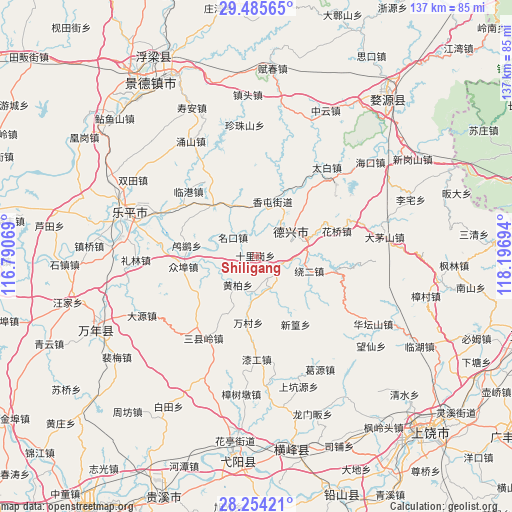
Shiligang GPS coordinates[2]
28° 52' 18.3" North, 117° 29' 37.716" East
| Map corner | latitude | longitude |
|---|---|---|
| Upper-left | 29.48565°, | 116.79069° |
| Center: | 28.87175°, | 117.49381° |
| Lower-right: | 28.25421°, | 118.19694° |
| Map W x H: | 136.9×136.9 km | = 85.1×85.1mi |
| max Lat: | 53.31946° ⇑66.6% North |
| Shiligang: | 28.87175° |
| min Lat: | ⇓33.4% South 18.22056° |
| min Long | Shiligang | max Long |
| 75.07348° | 117.49381° | 134.28917° |
| W 68.7%⇐ | ⇒31.3% E |
Elevation
Elevation of Shiligang is 47 m = 154 ft, and this is 437.8 m = 1436 ft below average elevation for this country.
| Max E: |
5622 m = 18445 ft | 71.3% |
| Avg. | 484.8 m = 1591 ft | |
| Shiligang | 47 m = 154 ft | |
Min E: |
-3 m = -10 ft | 28.7% |
See also: China elevation on elevation.city.
Geographical zone
Shiligang is located in North temperate zone (between Tropic of Cancer and the Arctic Circle). Distance of this Northern Tropic circle is 604.3 km =375.5 mi to South.| Distance of | km | miles | from Shiligang |
|---|---|---|---|
| North Pole | 6796.8 | 4223.3 | to North |
| Arctic Circle | 4190.9 | 2604.1 | to North |
| Tropic Cancer | 604.3 | 375.5 | to South |
| Equator | 3210.2 | 1994.7 | to South |


Nearby cities:
15 places around Shiligang: (largest is in red/bold)
• Caoxi
23.8 km =14.8 mi,  217°
217°
• Fengzhou
23.5 km =14.6 mi,  14°
14°
• Gaojia
18 km =11.2 mi,  323°
323°
• Hongyan
18.9 km =11.7 mi,  350°
350°
• Lingang
25.1 km =15.6 mi,  314°
314°
• Lusi
18.8 km =11.7 mi,  279°
279°
• Mingkou
8.1 km =5 mi, 310°
• Sanxianling
27.7 km =17.2 mi, 216°
• Tanbuqiao
20 km =12.4 mi,  41°
41°
• Wancun
17.8 km =11.1 mi,  186°
186°
• Wukou
27.6 km =17.1 mi,  296°
296°
• Xiangtun
15.8 km =9.8 mi,  16°
16°
• Xinhuang
20.5 km =12.7 mi,  149°
149°
• Zhangcun
14 km =8.7 mi, 152°
• Zhongbu
19.4 km =12.1 mi,  261°
261°
Sources, notices
• [Note1] Compared only with cities in China existing in our database
• [Src1] Map data: © OpenStreetMap contributors (CC-BY-SA)
• [Src2] Other city data from geonames.org with taken over terms of usage.
• [Src3] Geographical zone / Annual Mean Temperature by Robert A. Rohde @ Wikipedia
