Shuangyang geodata
Shuangyang (Chongqing) is a seat of a fourth-order administrative division; located in China in Asia/Shanghai (GMT+8) time zone. In our database, there are 1268 cities with bigger population. Compared to other cities in China, 58.2% of cities are located further ↓South; 72.2% of cities are located further →East and 84.9% of cities have lower elevation than Shuangyang. Note1


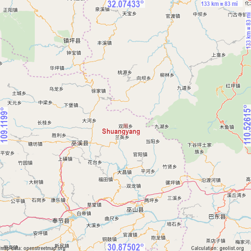
Shuangyang GPS coordinates[2]
31° 28' 35.76" North, 109° 49' 22.872" East
| Map corner | latitude | longitude |
|---|---|---|
| Upper-left | 32.07433°, | 109.1199° |
| Center: | 31.4766°, | 109.82302° |
| Lower-right: | 30.87502°, | 110.52615° |
| Map W x H: | 133.4×133.4 km | = 82.9×82.9mi |
| max Lat: | 53.31946° ⇑41.8% North |
| Shuangyang: | 31.4766° |
| min Lat: | ⇓58.2% South 18.22056° |
| min Long | Shuangyang | max Long |
| 75.07348° | 109.82302° | 134.28917° |
| W 27.8%⇐ | ⇒72.2% E |
Elevation
Elevation of Shuangyang is 975 m = 3199 ft, and this is 490.2 m = 1608 ft above average elevation for this country.
| Max E: |
5622 m = 18445 ft | 15.1% |
| Shuangyang | 975 m 3199 ft | |
| Avg. | 484.8 m = 1591 ft | |
Min E: |
-3 m = -10 ft | 84.9% |
See also: China elevation on elevation.city.
Geographical zone
Shuangyang is located in North temperate zone (between Tropic of Cancer and the Arctic Circle). Distance of this Northern Tropic circle is 894 km =555.5 mi to South.| Distance of | km | miles | from Shuangyang |
|---|---|---|---|
| North Pole | 6507.2 | 4043.4 | to North |
| Arctic Circle | 3901.3 | 2424.2 | to North |
| Tropic Cancer | 894 | 555.5 | to South |
| Equator | 3499.9 | 2174.7 | to South |


Nearby cities:
15 places around Shuangyang: (largest is in red/bold)
• Bailu
20.7 km =12.9 mi,  317°
317°
• Chengxiang
20.9 km =13 mi,  245°
245°
• Dachang
23.2 km =14.4 mi,  184°
184°
• Dadong
19.7 km =12.2 mi,  278°
278°
• Dangyang
16.7 km =10.4 mi,  118°
118°
• Guanyang
16.9 km =10.5 mi,  152°
152°
• Huatai
25 km =15.5 mi,  220°
220°
• Jiuhu
26.2 km =16.3 mi,  93°
93°
• Longxi
26.3 km =16.3 mi, 222°
• Ningchang
17.3 km =10.7 mi,  272°
272°
• Pinghe
26.8 km =16.7 mi, 153°
• Tianxing
26.9 km =16.7 mi, 268°
• Tongcheng
12.1 km =7.5 mi, 223°
• Xiangba
27.3 km =17 mi,  20°
20°
• Xujia
23.6 km =14.7 mi, 322°
Sources, notices
• [Note1] Compared only with cities in China existing in our database
• [Src1] Map data: © OpenStreetMap contributors (CC-BY-SA)
• [Src2] Other city data from geonames.org with taken over terms of usage.
• [Src3] Geographical zone / Annual Mean Temperature by Robert A. Rohde @ Wikipedia
