Micheng geodata
Micheng (Henan) is a seat of a fourth-order administrative division; located in China in Asia/Shanghai (GMT+8) time zone. In our database, there are 1268 cities with bigger population. Compared to other cities in China, 82.4% of cities are located further ↓South; 53% of cities are located further ←West and 54.5% of cities have lower elevation than Micheng. Note1


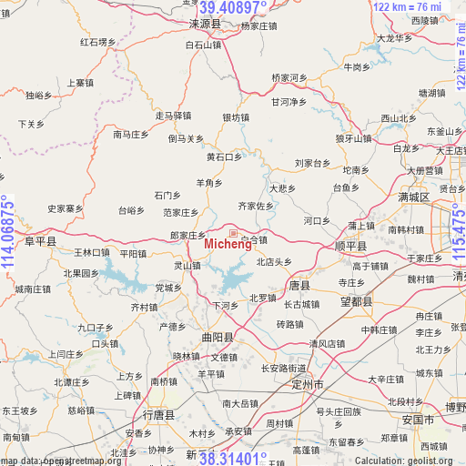
Micheng GPS coordinates[2]
38° 51' 48.96" North, 114° 46' 18.732" East
| Map corner | latitude | longitude |
|---|---|---|
| Upper-left | 39.40897°, | 114.06875° |
| Center: | 38.8636°, | 114.77187° |
| Lower-right: | 38.31401°, | 115.475° |
| Map W x H: | 121.7×121.7 km | = 75.6×75.6mi |
| max Lat: | 53.31946° ⇑17.6% North |
| Micheng: | 38.8636° |
| min Lat: | ⇓82.4% South 18.22056° |
| min Long | Micheng | max Long |
| 75.07348° | 114.77187° | 134.28917° |
| W 53%⇐ | ⇒47% E |
Elevation
Elevation of Micheng is 202 m = 663 ft, and this is 282.8 m = 928 ft below average elevation for this country.
| Max E: |
5622 m = 18445 ft | 45.5% |
| Avg. | 484.8 m = 1591 ft | |
| Micheng | 202 m = 663 ft | |
Min E: |
-3 m = -10 ft | 54.5% |
See also: China elevation on elevation.city.
Geographical zone
Micheng is located in North temperate zone (between Tropic of Cancer and the Arctic Circle). Distance of this Northern Tropic circle is 1715.3 km =1065.8 mi to South.| Distance of | km | miles | from Micheng |
|---|---|---|---|
| North Pole | 5685.8 | 3533 | to North |
| Arctic Circle | 3079.9 | 1913.8 | to North |
| Tropic Cancer | 1715.3 | 1065.8 | to South |
| Equator | 4321.2 | 2685.1 | to South |


Nearby cities:
15 places around Micheng: (largest is in red/bold)
• Baihe
5.4 km =3.4 mi,  103°
103°
• Baoshui
16.5 km =10.3 mi,  162°
162°
• Beidiantou
12.8 km =8 mi,  125°
125°
• Beiluo
19 km =11.8 mi, 156°
• Dabei
17.8 km =11.1 mi,  46°
46°
• Dayang
10.5 km =6.5 mi,  169°
169°
• Fanjiazhuang
15 km =9.3 mi,  292°
292°
• Juncheng
10.1 km =6.3 mi,  319°
319°
• Langjiazhuang
11.7 km =7.3 mi,  269°
269°
• Lingshan
14.4 km =8.9 mi,  235°
235°
• Luozhuang
18.1 km =11.2 mi,  175°
175°
• Qijiazuo
9.5 km =5.9 mi,  37°
37°
• Shennan
17.2 km =10.7 mi,  33°
33°
• Xiahe
18.4 km =11.4 mi,  186°
186°
• Yangjiao
14.9 km =9.3 mi,  333°
333°
Sources, notices
• [Note1] Compared only with cities in China existing in our database
• [Src1] Map data: © OpenStreetMap contributors (CC-BY-SA)
• [Src2] Other city data from geonames.org with taken over terms of usage.
• [Src3] Geographical zone / Annual Mean Temperature by Robert A. Rohde @ Wikipedia
