Shennan geodata
Shennan (Hebei) is a seat of a fourth-order administrative division; located in China in Asia/Shanghai (GMT+8) time zone. In our database, there are 1268 cities with bigger population. Compared to other cities in China, 82.7% of cities are located further ↓South; 53.6% of cities are located further ←West and 56.9% of cities have lower elevation than Shennan. Note1


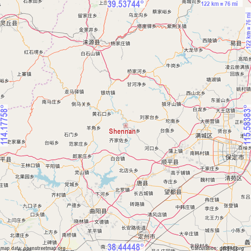
Shennan GPS coordinates[2]
38° 59' 35.052" North, 114° 52' 50.52" East
| Map corner | latitude | longitude |
|---|---|---|
| Upper-left | 39.53744°, | 114.17758° |
| Center: | 38.99307°, | 114.8807° |
| Lower-right: | 38.44448°, | 115.58383° |
| Map W x H: | 121.5×121.5 km | = 75.5×75.5mi |
| max Lat: | 53.31946° ⇑17.3% North |
| Shennan: | 38.99307° |
| min Lat: | ⇓82.7% South 18.22056° |
| min Long | Shennan | max Long |
| 75.07348° | 114.8807° | 134.28917° |
| W 53.6%⇐ | ⇒46.4% E |
Elevation
Elevation of Shennan is 225 m = 738 ft, and this is 259.8 m = 852 ft below average elevation for this country.
| Max E: |
5622 m = 18445 ft | 43.1% |
| Avg. | 484.8 m = 1591 ft | |
| Shennan | 225 m = 738 ft | |
Min E: |
-3 m = -10 ft | 56.9% |
See also: China elevation on elevation.city.
Geographical zone
Shennan is located in North temperate zone (between Tropic of Cancer and the Arctic Circle). Distance of this Northern Tropic circle is 1729.7 km =1074.8 mi to South.| Distance of | km | miles | from Shennan |
|---|---|---|---|
| North Pole | 5671.4 | 3524 | to North |
| Arctic Circle | 3065.6 | 1904.9 | to North |
| Tropic Cancer | 1729.7 | 1074.8 | to South |
| Equator | 4335.6 | 2694 | to South |


Nearby cities:
15 places around Shennan: (largest is in red/bold)
• Baihe
16.2 km =10.1 mi,  194°
194°
• Baoshui
30.5 km =19 mi, 188°
• Beidiantou
21.8 km =13.5 mi,  177°
177°
• Dabei
4.2 km =2.6 mi,  121°
121°
• Dayang
25.8 km =16 mi,  196°
196°
• Duting
29.5 km =18.3 mi,  170°
170°
• Fanjiazhuang
24.9 km =15.5 mi,  249°
249°
• Juncheng
17.2 km =10.7 mi, 247°
• Langjiazhuang
25.6 km =15.9 mi,  235°
235°
• Lingshan
31 km =19.3 mi,  223°
223°
• Micheng
17.2 km =10.7 mi,  213°
213°
• Nandiantou
30.3 km =18.8 mi, 177°
• Qijiazuo
7.8 km =4.8 mi, 207°
• Shimen
26.9 km =16.7 mi,  261°
261°
• Yangjiao
16.1 km =10 mi,  266°
266°
Sources, notices
• [Note1] Compared only with cities in China existing in our database
• [Src1] Map data: © OpenStreetMap contributors (CC-BY-SA)
• [Src2] Other city data from geonames.org with taken over terms of usage.
• [Src3] Geographical zone / Annual Mean Temperature by Robert A. Rohde @ Wikipedia
