Jiaoxiyakou geodata
Jiaoxiyakou (Yunnan) is a seat of a fourth-order administrative division; located in China in Asia/Shanghai (GMT+8) time zone. In our database, there are 1268 cities with bigger population. Compared to other cities in China, 81.8% of cities are located further ↑North; 92.4% of cities are located further →East and 95.4% of cities have lower elevation than Jiaoxiyakou. Note1


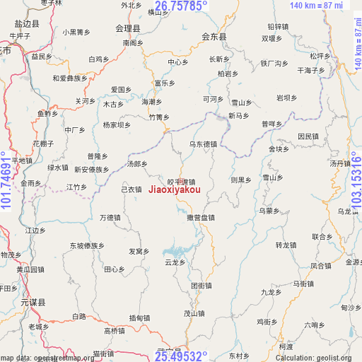
Jiaoxiyakou GPS coordinates[2]
26° 7' 41.844" North, 102° 27' 0.108" East
| Map corner | latitude | longitude |
|---|---|---|
| Upper-left | 26.75785°, | 101.74691° |
| Center: | 26.12829°, | 102.45003° |
| Lower-right: | 25.49532°, | 103.15316° |
| Map W x H: | 140.4×140.4 km | = 87.2×87.2mi |
| max Lat: | 53.31946° ⇑81.8% North |
| Jiaoxiyakou: | 26.12829° |
| min Lat: | ⇓18.2% South 18.22056° |
| min Long | Jiaoxiyakou | max Long |
| 75.07348° | 102.45003° | 134.28917° |
| W 7.6%⇐ | ⇒92.4% E |
Elevation
Elevation of Jiaoxiyakou is 2275 m = 7464 ft, and this is 1790.2 m = 5873 ft above average elevation for this country.
| Max E: |
5622 m = 18445 ft | 4.6% |
| Jiaoxiyakou | 2275 m 7464 ft | |
| Avg. | 484.8 m = 1591 ft | |
Min E: |
-3 m = -10 ft | 95.4% |
See also: China elevation on elevation.city.
Geographical zone
Jiaoxiyakou is located in North temperate zone (between Tropic of Cancer and the Arctic Circle). Distance of this Northern Tropic circle is 299.3 km =186 mi to South.| Distance of | km | miles | from Jiaoxiyakou |
|---|---|---|---|
| North Pole | 7101.9 | 4412.9 | to North |
| Arctic Circle | 4496 | 2793.7 | to North |
| Tropic Cancer | 299.3 | 186 | to South |
| Equator | 2905.2 | 1805.2 | to South |


Nearby cities:
15 places around Jiaoxiyakou: (largest is in red/bold)
• Chenggan
35.3 km =21.9 mi,  86°
86°
• Dianweijie
47.3 km =29.4 mi,  121°
121°
• Huidong
58 km =36 mi,  12°
12°
• Huili Chengguanzhen
62.9 km =39.1 mi,  340°
340°
• Jincheng
69.9 km =43.4 mi,  184°
184°
• Kaji
35.6 km =22.1 mi,  108°
108°
• Laojie
77.6 km =48.2 mi,  50°
50°
• Laojiezi
11.1 km =6.9 mi,  78°
78°
• Maoshanjie
51.4 km =31.9 mi,  174°
174°
• Muzeng
8.9 km =5.5 mi,  160°
160°
• Pingshan
67.7 km =42.1 mi, 177°
• Pujiawan
17.1 km =10.6 mi,  291°
291°
• Xiaopingba
70.7 km =43.9 mi, 174°
• Yongding
76.9 km =47.8 mi,  262°
262°
• Yuanmou
74.7 km =46.4 mi,  231°
231°
Sources, notices
• [Note1] Compared only with cities in China existing in our database
• [Src1] Map data: © OpenStreetMap contributors (CC-BY-SA)
• [Src2] Other city data from geonames.org with taken over terms of usage.
• [Src3] Geographical zone / Annual Mean Temperature by Robert A. Rohde @ Wikipedia
