A’yi Take geodata
A’yi Take (Xinjiang) is a seat of a fourth-order administrative division; located in China in Asia/Urumqi (GMT+6) time zone. In our database, there are 1268 cities with bigger population. Compared to other cities in China, 82.6% of cities are located further ↓South; 100% of cities are located further →East and 95.3% of cities have lower elevation than A’yi Take. Note1


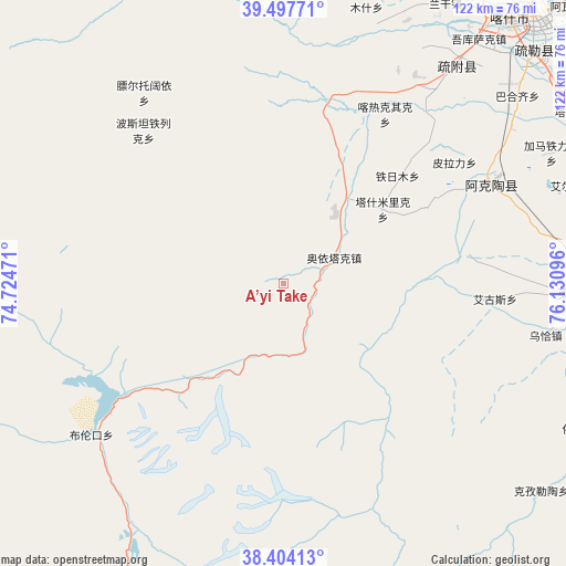
A’yi Take GPS coordinates[2]
38° 57' 10.908" North, 75° 25' 40.188" East
| Map corner | latitude | longitude |
|---|---|---|
| Upper-left | 39.49771°, | 74.72471° |
| Center: | 38.95303°, | 75.42783° |
| Lower-right: | 38.40413°, | 76.13096° |
| Map W x H: | 121.6×121.6 km | = 75.6×75.6mi |
| max Lat: | 53.31946° ⇑17.4% North |
| A’yi Take: | 38.95303° |
| min Lat: | ⇓82.6% South 18.22056° |
| min Long | A’yi Take | max Long |
| 75.07348° | 75.42783° | 134.28917° |
| W 0%⇐ | ⇒100% E |
Elevation
Elevation of A’yi Take is 2235 m = 7333 ft, and this is 1750.2 m = 5742 ft above average elevation for this country.
| Max E: |
5622 m = 18445 ft | 4.7% |
| A’yi Take | 2235 m 7333 ft | |
| Avg. | 484.8 m = 1591 ft | |
Min E: |
-3 m = -10 ft | 95.3% |
See also: China elevation on elevation.city.
Geographical zone
A’yi Take is located in North temperate zone (between Tropic of Cancer and the Arctic Circle). Distance of this Northern Tropic circle is 1725.3 km =1072.1 mi to South.| Distance of | km | miles | from A’yi Take |
|---|---|---|---|
| North Pole | 5675.9 | 3526.8 | to North |
| Arctic Circle | 3070 | 1907.6 | to North |
| Tropic Cancer | 1725.3 | 1072.1 | to South |
| Equator | 4331.2 | 2691.3 | to South |


Nearby cities:
15 places around A’yi Take: (largest is in red/bold)
• Arzak
100.1 km =62.2 mi,  36°
36°
• Chengguan
63.8 km =39.6 mi,  93°
93°
• Ha’erlong
71.4 km =44.4 mi,  128°
128°
• Kashgar
75.2 km =46.7 mi, 40°
• Kezilei
96.2 km =59.8 mi,  110°
110°
• Longfu
54.3 km =33.7 mi, 91°
• Mangxing
66.8 km =41.5 mi, 92°
• Maqia
57.7 km =35.9 mi,  102°
102°
• Qiaoleipan
59.5 km =37 mi, 91°
• Saxin
76.8 km =47.7 mi, 91°
• Shule
73.3 km =45.5 mi,  47°
47°
• Sugaiti
69.5 km =43.2 mi, 105°
• Tuopu Luke
79.1 km =49.2 mi, 105°
• Yigezi Ye’er
74.9 km =46.5 mi,  117°
117°
• Yingye’er
74.7 km =46.4 mi, 88°
Sources, notices
• [Note1] Compared only with cities in China existing in our database
• [Src1] Map data: © OpenStreetMap contributors (CC-BY-SA)
• [Src2] Other city data from geonames.org with taken over terms of usage.
• [Src3] Geographical zone / Annual Mean Temperature by Robert A. Rohde @ Wikipedia
