Yiwu geodata
Yiwu (Xinjiang) is a seat of a third-order administrative division; located in China in Asia/Urumqi (GMT+6) time zone. In our database, there are 1268 cities with bigger population. Compared to other cities in China, 92.2% of cities are located further ↓South; 96.2% of cities are located further →East and 92.8% of cities have lower elevation than Yiwu. Note1


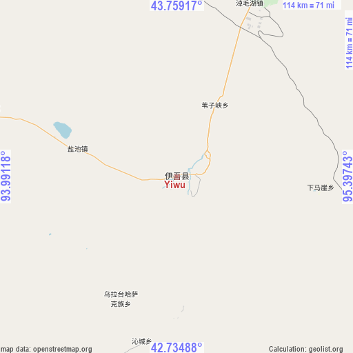
Yiwu GPS coordinates[2]
43° 14' 57.048" North, 94° 41' 39.48" East
| Map corner | latitude | longitude |
|---|---|---|
| Upper-left | 43.75917°, | 93.99118° |
| Center: | 43.24918°, | 94.6943° |
| Lower-right: | 42.73488°, | 95.39743° |
| Map W x H: | 113.9×113.9 km | = 70.8×70.8mi |
| max Lat: | 53.31946° ⇑7.8% North |
| Yiwu: | 43.24918° |
| min Lat: | ⇓92.2% South 18.22056° |
| min Long | Yiwu | max Long |
| 75.07348° | 94.6943° | 134.28917° |
| W 3.8%⇐ | ⇒96.2% E |
Elevation
Elevation of Yiwu is 1681 m = 5515 ft, and this is 1196.2 m = 3925 ft above average elevation for this country.
| Max E: |
5622 m = 18445 ft | 7.2% |
| Yiwu | 1681 m 5515 ft | |
| Avg. | 484.8 m = 1591 ft | |
Min E: |
-3 m = -10 ft | 92.8% |
See also: China elevation on elevation.city.
Geographical zone
Yiwu is located in North temperate zone (between Tropic of Cancer and the Arctic Circle). Distance of this Northern Tropic circle is 2202.9 km =1368.8 mi to South.| Distance of | km | miles | from Yiwu |
|---|---|---|---|
| North Pole | 5198.2 | 3230 | to North |
| Arctic Circle | 2592.3 | 1610.8 | to North |
| Tropic Cancer | 2202.9 | 1368.8 | to South |
| Equator | 4808.9 | 2988.1 | to South |


Nearby cities:
15 places around Yiwu: (largest is in red/bold)
• Barkol
141.6 km =88 mi,  285°
285°
• Bulongji
338.7 km =210.5 mi,  153°
153°
• Guazhou
320.1 km =198.9 mi,  165°
165°
• Guojiabao
339.5 km =211 mi,  179°
179°
• Hami
107 km =66.5 mi,  244°
244°
• Huancheng
315.3 km =195.9 mi,  163°
163°
• Huangqu
330.3 km =205.2 mi, 179°
• Liuyuan
247.8 km =154 mi, 164°
• Lüjiabao
340.2 km =211.4 mi, 179°
• Mazongshan
249.3 km =154.9 mi,  129°
129°
• Mengjiaqiao
341.2 km =212 mi, 181°
• Nancha
325.7 km =202.4 mi, 165°
• Xihu
302.4 km =187.9 mi, 175°
• Yuanquan
319.1 km =198.3 mi, 163°
• Zhuanqukou
333.8 km =207.4 mi, 179°
Sources, notices
• [Note1] Compared only with cities in China existing in our database
• [Src1] Map data: © OpenStreetMap contributors (CC-BY-SA)
• [Src2] Other city data from geonames.org with taken over terms of usage.
• [Src3] Geographical zone / Annual Mean Temperature by Robert A. Rohde @ Wikipedia
