Xiadu geodata
Xiadu (Anhui) is a seat of a fourth-order administrative division; located in China in Asia/Shanghai (GMT+8) time zone. In our database, there are 1268 cities with bigger population. Compared to other cities in China, 54.2% of cities are located further ↓South; 74.8% of cities are located further ←West and 89.9% of cities have higher elevation than Xiadu. Note1


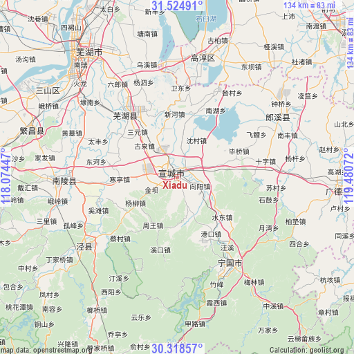
Xiadu GPS coordinates[2]
30° 55' 25.104" North, 118° 46' 39.324" East
| Map corner | latitude | longitude |
|---|---|---|
| Upper-left | 31.52491°, | 118.07447° |
| Center: | 30.92364°, | 118.77759° |
| Lower-right: | 30.31857°, | 119.48072° |
| Map W x H: | 134.1×134.1 km | = 83.3×83.3mi |
| max Lat: | 53.31946° ⇑45.8% North |
| Xiadu: | 30.92364° |
| min Lat: | ⇓54.2% South 18.22056° |
| min Long | Xiadu | max Long |
| 75.07348° | 118.77759° | 134.28917° |
| W 74.8%⇐ | ⇒25.2% E |
Elevation
Elevation of Xiadu is 10 m = 33 ft, and this is 474.8 m = 1558 ft below average elevation for this country.
| Max E: |
5622 m = 18445 ft | 89.9% |
| Avg. | 484.8 m = 1591 ft | |
| Xiadu | 10 m = 33 ft | |
Min E: |
-3 m = -10 ft | 10.1% |
See also: China elevation on elevation.city.
Geographical zone
Xiadu is located in North temperate zone (between Tropic of Cancer and the Arctic Circle). Distance of this Northern Tropic circle is 832.5 km =517.3 mi to South.| Distance of | km | miles | from Xiadu |
|---|---|---|---|
| North Pole | 6568.7 | 4081.6 | to North |
| Arctic Circle | 3962.8 | 2462.4 | to North |
| Tropic Cancer | 832.5 | 517.3 | to South |
| Equator | 3438.4 | 2136.5 | to South |


Nearby cities:
15 places around Xiadu: (largest is in red/bold)
• Dingdian
10.4 km =6.5 mi,  50°
50°
• Guquan
17.3 km =10.7 mi,  314°
314°
• Jinba
11.4 km =7.1 mi,  244°
244°
• Rencunwan
18.8 km =11.7 mi,  354°
354°
• Shencun
15.9 km =9.9 mi,  26°
26°
• Shuangxi
4.6 km =2.9 mi, 33°
• Sunbu
10.4 km =6.5 mi,  104°
104°
• Tianhu
17.3 km =10.7 mi,  267°
267°
• Wuxing
9.5 km =5.9 mi,  2°
2°
• Xiangyang
9.1 km =5.7 mi,  110°
110°
• Xintian
18.7 km =11.6 mi,  182°
182°
• Xuanzhou
3.9 km =2.4 mi,  326°
326°
• Yangliu
18.5 km =11.5 mi, 238°
• Yishan
11.3 km =7 mi,  160°
160°
• Zhouwang
20.3 km =12.6 mi,  206°
206°
Sources, notices
• [Note1] Compared only with cities in China existing in our database
• [Src1] Map data: © OpenStreetMap contributors (CC-BY-SA)
• [Src2] Other city data from geonames.org with taken over terms of usage.
• [Src3] Geographical zone / Annual Mean Temperature by Robert A. Rohde @ Wikipedia
