Zhouwang geodata
Zhouwang (Anhui) is a seat of a fourth-order administrative division; located in China in Asia/Shanghai (GMT+8) time zone. In our database, there are 1268 cities with bigger population. Compared to other cities in China, 52.6% of cities are located further ↓South; 74.3% of cities are located further ←West and 58.2% of cities have higher elevation than Zhouwang. Note1


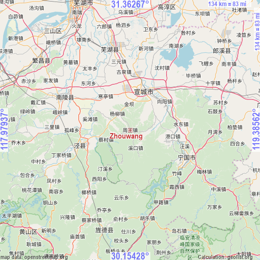
Zhouwang GPS coordinates[2]
30° 45' 37.332" North, 118° 40' 56.964" East
| Map corner | latitude | longitude |
|---|---|---|
| Upper-left | 31.36267°, | 117.97937° |
| Center: | 30.76037°, | 118.68249° |
| Lower-right: | 30.15428°, | 119.38562° |
| Map W x H: | 134.4×134.4 km | = 83.5×83.5mi |
| max Lat: | 53.31946° ⇑47.4% North |
| Zhouwang: | 30.76037° |
| min Lat: | ⇓52.6% South 18.22056° |
| min Long | Zhouwang | max Long |
| 75.07348° | 118.68249° | 134.28917° |
| W 74.3%⇐ | ⇒25.7% E |
Elevation
Elevation of Zhouwang is 110 m = 361 ft, and this is 374.8 m = 1230 ft below average elevation for this country.
| Max E: |
5622 m = 18445 ft | 58.2% |
| Avg. | 484.8 m = 1591 ft | |
| Zhouwang | 110 m = 361 ft | |
Min E: |
-3 m = -10 ft | 41.8% |
See also: China elevation on elevation.city.
Geographical zone
Zhouwang is located in North temperate zone (between Tropic of Cancer and the Arctic Circle). Distance of this Northern Tropic circle is 814.3 km =506 mi to South.| Distance of | km | miles | from Zhouwang |
|---|---|---|---|
| North Pole | 6586.8 | 4092.8 | to North |
| Arctic Circle | 3980.9 | 2473.6 | to North |
| Tropic Cancer | 814.3 | 506 | to South |
| Equator | 3420.2 | 2125.2 | to South |


Nearby cities:
15 places around Zhouwang: (largest is in red/bold)
• Aimin
14 km =8.7 mi,  206°
206°
• Caicun
13.5 km =8.4 mi,  249°
249°
• Gangkou
22.1 km =13.7 mi,  97°
97°
• Gaoqiao
11.3 km =7 mi,  292°
292°
• Guxi
9.4 km =5.8 mi,  164°
164°
• Hanting
21.8 km =13.5 mi,  323°
323°
• Jinba
13.3 km =8.3 mi,  354°
354°
• Qinxi
18.6 km =11.6 mi,  259°
259°
• Tianhu
19.2 km =11.9 mi,  334°
334°
• Tingxi
18.4 km =11.4 mi,  201°
201°
• Xiadu
20.3 km =12.6 mi,  26°
26°
• Xintian
8.3 km =5.2 mi,  93°
93°
• Xuanzhou
22.5 km =14 mi,  18°
18°
• Yangliu
11 km =6.8 mi, 321°
• Yishan
14.9 km =9.3 mi,  59°
59°
Sources, notices
• [Note1] Compared only with cities in China existing in our database
• [Src1] Map data: © OpenStreetMap contributors (CC-BY-SA)
• [Src2] Other city data from geonames.org with taken over terms of usage.
• [Src3] Geographical zone / Annual Mean Temperature by Robert A. Rohde @ Wikipedia
