Güicán geodata
Güicán (Boyacá) is a seat of a second-order administrative division; located in Colombia in America/Bogota (GMT-5) time zone. With population of 2,101 people, there are 785 cities with bigger population in this country. Compared to other cities in Colombia, 67.7% of cities are located further ↓South; 96.7% of cities are located further ←West and 97.4% of cities have lower elevation than Güicán. Note1


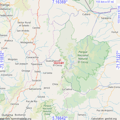
Güicán GPS coordinates[2]
6° 27' 55.944" North, 72° 24' 55.404" West
| Map corner | latitude | longitude |
|---|---|---|
| Upper-left | 7.16369°, | -73.11852° |
| Center: | 6.46554°, | -72.41539° |
| Lower-right: | 5.76642°, | -71.71227° |
| Map W x H: | 155.4×155.4 km | = 96.6×96.6mi |
| max Lat: | 13.38166° ⇑32.3% North |
| Güicán: | 6.46554° |
| min Lat: | ⇓67.7% South -4.21528° |
| min Long | Güicán | max Long |
| -81.70636° | -72.41539° | -67.06996° |
| W 96.7%⇐ | ⇒3.3% E |
Elevation
Elevation of Güicán is 2820 m = 9252 ft, and this is 1670.7 m = 5481 ft above average elevation for this country.
| Max E: |
3342 m = 10965 ft | 2.6% |
| Güicán | 2820 m 9252 ft | |
| Avg. | 1149.3 m = 3771 ft | |
Min E: |
1 m = 3 ft | 97.4% |
See also: Colombia elevation on elevation.city.
Geographical zone
Güicán is located in North Torrid zone (between Equator and Tropic of Cancer). Distance of Equator is 718.9 km =446.7 mi to South.| Distance of | km | miles | from Güicán |
|---|---|---|---|
| North Pole | 9288.2 | 5771.4 | to North |
| Arctic Circle | 6682.3 | 4152.2 | to North |
| Tropic Cancer | 1887 | 1172.5 | to North |
| Equator | 718.9 | 446.7 | to South |


Nearby cities:
15 places around Güicán: (largest is in red/bold)
• Boavita
24 km =14.9 mi,  231°
231°
• Capitanejo
31.8 km =19.8 mi,  282°
282°
• Carcasí
29.4 km =18.3 mi,  307°
307°
• Chiscas
14.1 km =8.8 mi,  315°
315°
• Chita
31.3 km =19.4 mi,  192°
192°
• El Cocuy
7 km =4.3 mi,  211°
211°
• El Espino
9.2 km =5.7 mi, 281°
• Guacamayas
9.9 km =6.2 mi,  267°
267°
• La Uvita
22.9 km =14.2 mi, 225°
• Macaravita
20.1 km =12.5 mi, 282°
• Panqueba
5.7 km =3.5 mi,  246°
246°
• San Mateo
16.8 km =10.4 mi, 245°
• San Miguel
28.3 km =17.6 mi,  295°
295°
• Soatá
33 km =20.5 mi,  243°
243°
• Tipacoque
31 km =19.3 mi,  260°
260°
Sources, notices
• [Note1] Compared only with cities in Colombia existing in our database
• [Src1] Map data: © OpenStreetMap contributors (CC-BY-SA)
• [Src2] Other city data from geonames.org with taken over terms of usage.
• [Src3] Geographical zone / Annual Mean Temperature by Robert A. Rohde @ Wikipedia
