Guapotá geodata
Guapotá (Santander) is a seat of a second-order administrative division; located in Colombia in America/Bogota (GMT-5) time zone. With population of 564 people, there are 1020 cities with bigger population in this country. Compared to other cities in Colombia, 64.8% of cities are located further ↓South; 79.9% of cities are located further ←West and 60.6% of cities have lower elevation than Guapotá. Note1


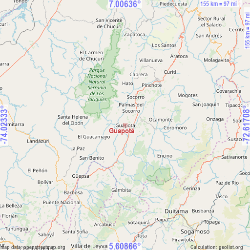
Guapotá GPS coordinates[2]
6° 18' 28.728" North, 73° 19' 12.72" West
| Map corner | latitude | longitude |
|---|---|---|
| Upper-left | 7.00636°, | -74.02333° |
| Center: | 6.30798°, | -73.3202° |
| Lower-right: | 5.60866°, | -72.61708° |
| Map W x H: | 155.4×155.4 km | = 96.6×96.6mi |
| max Lat: | 13.38166° ⇑35.2% North |
| Guapotá: | 6.30798° |
| min Lat: | ⇓64.8% South -4.21528° |
| min Long | Guapotá | max Long |
| -81.70636° | -73.3202° | -67.06996° |
| W 79.9%⇐ | ⇒20.1% E |
Elevation
Elevation of Guapotá is 1480 m = 4856 ft, and this is 330.7 m = 1085 ft above average elevation for this country.
| Max E: |
3342 m = 10965 ft | 39.4% |
| Guapotá | 1480 m 4856 ft | |
| Avg. | 1149.3 m = 3771 ft | |
Min E: |
1 m = 3 ft | 60.6% |
See also: Colombia elevation on elevation.city.
Geographical zone
Guapotá is located in North Torrid zone (between Equator and Tropic of Cancer). Distance of Equator is 701.4 km =435.8 mi to South.| Distance of | km | miles | from Guapotá |
|---|---|---|---|
| North Pole | 9305.7 | 5782.3 | to North |
| Arctic Circle | 6699.8 | 4163.1 | to North |
| Tropic Cancer | 1904.5 | 1183.4 | to North |
| Equator | 701.4 | 435.8 | to South |


Nearby cities:
15 places around Guapotá: (largest is in red/bold)
• Charalá
19.3 km =12 mi,  97°
97°
• Chima
7.2 km =4.5 mi,  304°
304°
• Confines
10.2 km =6.3 mi,  58°
58°
• Contratación
17.1 km =10.6 mi,  263°
263°
• El Guacamayo
20.7 km =12.9 mi,  250°
250°
• Guadalupe
12.8 km =8 mi,  237°
237°
• Hato
26.2 km =16.3 mi,  2°
2°
• Ocamonte
22.2 km =13.8 mi,  80°
80°
• Oiba
5.4 km =3.4 mi,  154°
154°
• Palmar
25.7 km =16 mi,  6°
6°
• Palmas del Socorro
11.6 km =7.2 mi,  17°
17°
• Páramo
20.5 km =12.7 mi,  54°
54°
• Simacota
15.1 km =9.4 mi,  352°
352°
• Socorro
19 km =11.8 mi, 20°
• Valle de San José
24.9 km =15.5 mi, 51°
Sources, notices
• [Note1] Compared only with cities in Colombia existing in our database
• [Src1] Map data: © OpenStreetMap contributors (CC-BY-SA)
• [Src2] Other city data from geonames.org with taken over terms of usage.
• [Src3] Geographical zone / Annual Mean Temperature by Robert A. Rohde @ Wikipedia
