El Carmen de Chucurí geodata
El Carmen de Chucurí (Santander) is a seat of a second-order administrative division; located in Colombia in America/Bogota (GMT-5) time zone. With population of 1,602 people, there are 855 cities with bigger population in this country. Compared to other cities in Colombia, 71.5% of cities are located further ↓South; 75.3% of cities are located further ←West and 59.6% of cities have higher elevation than El Carmen de Chucurí. Note1
Current local time in El Carmen de Chucurí:
09:36 AM, WednesdayDifference from your time zone: hours


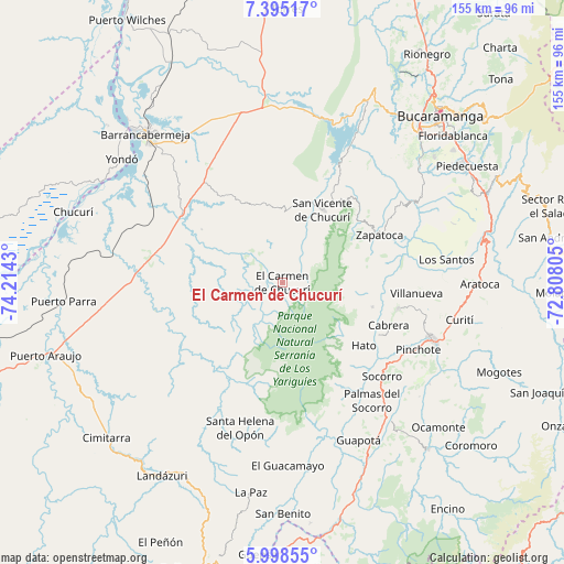
El Carmen de Chucurí GPS coordinates[2]
6° 41' 50.496" North, 73° 30' 40.212" West
| Map corner | latitude | longitude |
|---|---|---|
| Upper-left | 7.39517°, | -74.2143° |
| Center: | 6.69736°, | -73.51117° |
| Lower-right: | 5.99855°, | -72.80805° |
| Map W x H: | 155.3×155.3 km | = 96.5×96.5mi |
| max Lat: | 13.38166° ⇑28.5% North |
| El Carmen de Chucurí: | 6.69736° |
| min Lat: | ⇓71.5% South -4.21528° |
| min Long | El Carmen de Ch | max Long |
| -81.70636° | -73.51117° | -67.06996° |
| W 75.3%⇐ | ⇒24.7% E |
Elevation
Elevation of El Carmen de Chucurí is 775 m = 2543 ft, and this is 374.3 m = 1228 ft below average elevation for this country.
| Max E: |
3342 m = 10965 ft | 59.6% |
| Avg. | 1149.3 m = 3771 ft | |
| El Carmen de Chucurí | 775 m = 2543 ft | |
Min E: |
1 m = 3 ft | 40.4% |
See also: Colombia elevation on elevation.city.
Geographical zone
El Carmen de Chucurí is located in North Torrid zone (between Equator and Tropic of Cancer). Distance of Equator is 744.7 km =462.7 mi to South.| Distance of | km | miles | from El Carmen de Chucurí |
|---|---|---|---|
| North Pole | 9262.4 | 5755.4 | to North |
| Arctic Circle | 6656.5 | 4136.2 | to North |
| Tropic Cancer | 1861.2 | 1156.5 | to North |
| Equator | 744.7 | 462.7 | to South |


Nearby cities:
15 places around El Carmen de Chucurí: (largest is in red/bold)
• Barichara
32.6 km =20.3 mi,  102°
102°
• Betulia
33.8 km =21 mi,  48°
48°
• Cabrera
31.5 km =19.6 mi,  111°
111°
• Chima
42.1 km =26.2 mi,  158°
158°
• Galán
25.4 km =15.8 mi, 105°
• Hato
28.2 km =17.5 mi,  127°
127°
• Palmar
30 km =18.6 mi, 126°
• Palmas del Socorro
40.6 km =25.2 mi,  142°
142°
• Pinchote
41.6 km =25.8 mi,  116°
116°
• San Vicente de Chucurí
23.3 km =14.5 mi,  28°
28°
• Santa Helena del Opón
41.4 km =25.7 mi,  196°
196°
• Simacota
34.2 km =21.3 mi,  145°
145°
• Socorro
37.6 km =23.4 mi, 132°
• Villanueva
37.3 km =23.2 mi,  94°
94°
• Zapatoca
29.9 km =18.6 mi,  63°
63°
Sources, notices
• [Note1] Compared only with cities in Colombia existing in our database
• [Src1] Map data: © OpenStreetMap contributors (CC-BY-SA)
• [Src2] Other city data from geonames.org with taken over terms of usage.
• [Src3] Geographical zone / Annual Mean Temperature by Robert A. Rohde @ Wikipedia
