Galán geodata
Galán (Santander) is a seat of a second-order administrative division; located in Colombia in America/Bogota (GMT-5) time zone. With population of 1,122 people, there are 928 cities with bigger population in this country. Compared to other cities in Colombia, 70.5% of cities are located further ↓South; 80.8% of cities are located further ←West and 56.9% of cities have higher elevation than Galán. Note1


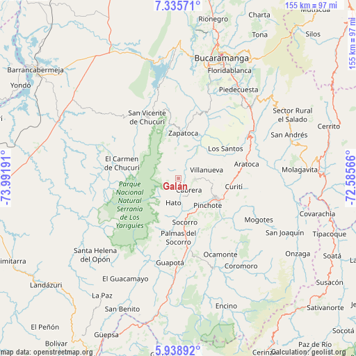
Galán GPS coordinates[2]
6° 38' 16.116" North, 73° 17' 19.608" West
| Map corner | latitude | longitude |
|---|---|---|
| Upper-left | 7.33571°, | -73.99191° |
| Center: | 6.63781°, | -73.28878° |
| Lower-right: | 5.93892°, | -72.58566° |
| Map W x H: | 155.3×155.3 km | = 96.5×96.5mi |
| max Lat: | 13.38166° ⇑29.5% North |
| Galán: | 6.63781° |
| min Lat: | ⇓70.5% South -4.21528° |
| min Long | Galán | max Long |
| -81.70636° | -73.28878° | -67.06996° |
| W 80.8%⇐ | ⇒19.2% E |
Elevation
Elevation of Galán is 938 m = 3077 ft, and this is 211.3 m = 693 ft below average elevation for this country.
| Max E: |
3342 m = 10965 ft | 56.9% |
| Avg. | 1149.3 m = 3771 ft | |
| Galán | 938 m = 3077 ft | |
Min E: |
1 m = 3 ft | 43.1% |
See also: Colombia elevation on elevation.city.
Geographical zone
Galán is located in North Torrid zone (between Equator and Tropic of Cancer). Distance of Equator is 738.1 km =458.6 mi to South.| Distance of | km | miles | from Galán |
|---|---|---|---|
| North Pole | 9269 | 5759.5 | to North |
| Arctic Circle | 6663.1 | 4140.3 | to North |
| Tropic Cancer | 1867.9 | 1160.7 | to North |
| Equator | 738.1 | 458.6 | to South |


Nearby cities:
15 places around Galán: (largest is in red/bold)
• Barichara
7.3 km =4.5 mi,  91°
91°
• Cabrera
6.8 km =4.2 mi,  136°
136°
• Curití
24.6 km =15.3 mi,  98°
98°
• El Carmen de Chucurí
25.4 km =15.8 mi,  285°
285°
• Hato
10.8 km =6.7 mi,  191°
191°
• Jordán
23.8 km =14.8 mi,  63°
63°
• Los Santos
24 km =14.9 mi, 57°
• Palmar
11.1 km =6.9 mi,  182°
182°
• Palmas del Socorro
25.6 km =15.9 mi, 179°
• Pinchote
17.4 km =10.8 mi,  132°
132°
• San Gil
19 km =11.8 mi,  117°
117°
• Simacota
22.3 km =13.9 mi, 193°
• Socorro
19.1 km =11.9 mi,  170°
170°
• Villanueva
13.2 km =8.2 mi,  73°
73°
• Zapatoca
19.9 km =12.4 mi,  6°
6°
Sources, notices
• [Note1] Compared only with cities in Colombia existing in our database
• [Src1] Map data: © OpenStreetMap contributors (CC-BY-SA)
• [Src2] Other city data from geonames.org with taken over terms of usage.
• [Src3] Geographical zone / Annual Mean Temperature by Robert A. Rohde @ Wikipedia
