Gachetá geodata
Gachetá (Cundinamarca) is a seat of a second-order administrative division; located in Colombia in America/Bogota (GMT-5) time zone. With population of 4,088 people, there are 577 cities with bigger population in this country. Compared to other cities in Colombia, 66.1% of cities are located further ↑North; 72.5% of cities are located further ←West and 70.4% of cities have lower elevation than Gachetá. Note1


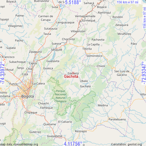
Gachetá GPS coordinates[2]
4° 49' 6.744" North, 73° 38' 11.724" West
| Map corner | latitude | longitude |
|---|---|---|
| Upper-left | 5.5188°, | -74.33972° |
| Center: | 4.81854°, | -73.63659° |
| Lower-right: | 4.11756°, | -72.93347° |
| Map W x H: | 155.8×155.8 km | = 96.8×96.8mi |
| max Lat: | 13.38166° ⇑66.1% North |
| Gachetá: | 4.81854° |
| min Lat: | ⇓33.9% South -4.21528° |
| min Long | Gachetá | max Long |
| -81.70636° | -73.63659° | -67.06996° |
| W 72.5%⇐ | ⇒27.5% E |
Elevation
Elevation of Gachetá is 1744 m = 5722 ft, and this is 594.7 m = 1951 ft above average elevation for this country.
| Max E: |
3342 m = 10965 ft | 29.6% |
| Gachetá | 1744 m 5722 ft | |
| Avg. | 1149.3 m = 3771 ft | |
Min E: |
1 m = 3 ft | 70.4% |
See also: Colombia elevation on elevation.city.
Geographical zone
Gachetá is located in North Torrid zone (between Equator and Tropic of Cancer). Distance of Equator is 535.8 km =332.9 mi to South.| Distance of | km | miles | from Gachetá |
|---|---|---|---|
| North Pole | 9471.3 | 5885.2 | to North |
| Arctic Circle | 6865.4 | 4266 | to North |
| Tropic Cancer | 2070.1 | 1286.3 | to North |
| Equator | 535.8 | 332.9 | to South |


Nearby cities:
15 places around Gachetá: (largest is in red/bold)
• Chivor
30.6 km =19 mi,  75°
75°
• Gachalá
19 km =11.8 mi,  137°
137°
• Gama
6.8 km =4.2 mi,  155°
155°
• Guasca
27.2 km =16.9 mi,  281°
281°
• Guatavita
25.4 km =15.8 mi,  301°
301°
• Guateque
27.7 km =17.2 mi,  41°
41°
• Guayatá
23.1 km =14.4 mi,  45°
45°
• Junín
4.1 km =2.5 mi,  219°
219°
• Machetá
29.4 km =18.3 mi,  6°
6°
• Manta
23.6 km =14.7 mi,  26°
26°
• Sesquilé
30.8 km =19.1 mi,  324°
324°
• Somondoco
29.2 km =18.1 mi, 50°
• Sutatenza
30.6 km =19 mi, 41°
• Tibirita
29.8 km =18.5 mi, 29°
• Ubalá
14 km =8.7 mi,  126°
126°
Sources, notices
• [Note1] Compared only with cities in Colombia existing in our database
• [Src1] Map data: © OpenStreetMap contributors (CC-BY-SA)
• [Src2] Other city data from geonames.org with taken over terms of usage.
• [Src3] Geographical zone / Annual Mean Temperature by Robert A. Rohde @ Wikipedia
