Minas geodata
Minas (Camagüey) is a seat of a second-order administrative division; located in Cuba in America/Havana (GMT-4) time zone. With population of 20,863 people, there are 101 cities with bigger population in this country. Compared to other cities in Cuba, 68.5% of cities are located further ↑North; 71.3% of cities are located further ←West and 63% of cities have lower elevation than Minas. Note1


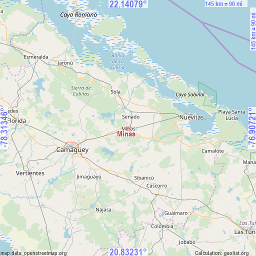
Minas GPS coordinates[2]
21° 29' 16.872" North, 77° 36' 37.188" West
| Map corner | latitude | longitude |
|---|---|---|
| Upper-left | 22.14079°, | -78.31346° |
| Center: | 21.48802°, | -77.61033° |
| Lower-right: | 20.83231°, | -76.90721° |
| Map W x H: | 145.5×145.5 km | = 90.4×90.4mi |
| max Lat: | 23.15917° ⇑68.5% North |
| Minas: | 21.48802° |
| min Lat: | ⇓31.5% South 19.90553° |
| min Long | Minas | max Long |
| -84.28599° | -77.61033° | -74.15181° |
| W 71.3%⇐ | ⇒28.7% E |
Elevation
Elevation of Minas is 66 m = 217 ft, and this is 2.6 m = 9 ft below average elevation for this country.
| Max E: |
761 m = 2497 ft | 37% |
| Avg. | 68.6 m = 225 ft | |
| Minas | 66 m = 217 ft | |
Min E: |
3 m = 10 ft | 63% |
See also: Cuba elevation on elevation.city.
Geographical zone
Minas is located in North Torrid zone (between Equator and Tropic of Cancer). Distance of this Northern Tropic circle is 216.7 km =134.7 mi to North.| Distance of | km | miles | from Minas |
|---|---|---|---|
| North Pole | 7617.8 | 4733.5 | to North |
| Arctic Circle | 5011.9 | 3114.2 | to North |
| Tropic Cancer | 216.7 | 134.7 | to North |
| Equator | 2389.2 | 1484.6 | to South |


Nearby cities:
15 places around Minas: (largest is in red/bold)
• Amancio
74.4 km =46.2 mi,  177°
177°
• Camagüey
33.9 km =21.1 mi,  249°
249°
• Carlos Manuel de Céspedes
70.2 km =43.6 mi,  277°
277°
• Colombia
58.8 km =36.5 mi,  161°
161°
• Cubitas
29.4 km =18.3 mi,  327°
327°
• Esmeralda
66.2 km =41.1 mi,  307°
307°
• Florida
63.8 km =39.6 mi,  273°
273°
• Guáimaro
55.5 km =34.5 mi,  150°
150°
• Jimaguayú
35.3 km =21.9 mi,  219°
219°
• Jobabo
73 km =45.4 mi, 152°
• Manatí
72.7 km =45.2 mi,  105°
105°
• Najasa
48.2 km =30 mi,  196°
196°
• Nuevitas
36.3 km =22.6 mi,  79°
79°
• Sibanicú
29.3 km =18.2 mi, 162°
• Vertientes
61.4 km =38.2 mi, 245°
Sources, notices
• [Note1] Compared only with cities in Cuba existing in our database
• [Src1] Map data: © OpenStreetMap contributors (CC-BY-SA)
• [Src2] Other city data from geonames.org with taken over terms of usage.
• [Src3] Geographical zone / Annual Mean Temperature by Robert A. Rohde @ Wikipedia
