Unterammergau geodata
Unterammergau (Bavaria) is a seat of a fourth-order administrative division; located in Germany in Europe/Berlin (GMT+2) time zone. With population of 1,435 people, there are 6007 cities with bigger population in this country. Compared to other cities in Germany, 99.5% of cities are located further ↑North; 67.4% of cities are located further ←West and 99.5% of cities have lower elevation than Unterammergau. Note1
Administrative division(s):
- Level 1: Bavaria
- Level 2: Upper Bavaria
- Level 3: Landkreis Garmisch-Partenkirchen
- Level 4: Unterammergau


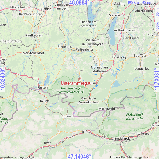
Unterammergau GPS coordinates[2]
47° 36' 59.688" North, 11° 1' 37.848" East
| Map corner | latitude | longitude |
|---|---|---|
| Upper-left | 48.0884°, | 10.32406° |
| Center: | 47.61658°, | 11.02718° |
| Lower-right: | 47.14046°, | 11.73031° |
| Map W x H: | 105.4×105.4 km | = 65.5×65.5mi |
| max Lat: | 55.01917° ⇑99.5% North |
| Unterammergau: | 47.61658° |
| min Lat: | ⇓0.5% South 47.40724° |
| min Long | Unterammergau | max Long |
| 5.92978° | 11.02718° | 14.98853° |
| W 67.4%⇐ | ⇒32.6% E |
Elevation
Elevation of Unterammergau is 837 m = 2746 ft, and this is 587.9 m = 1929 ft above average elevation for this country.
| Max E: |
1256 m = 4121 ft | 0.5% |
| Unterammergau | 837 m 2746 ft | |
| Avg. | 249.1 m = 817 ft | |
Min E: |
-5 m = -16 ft | 99.5% |
See also: Germany elevation on elevation.city.
Geographical zone
Unterammergau is located in North temperate zone (between Tropic of Cancer and the Arctic Circle). Distance of this North polar circle is 2106.7 km =1309 mi to North.| Distance of | km | miles | from Unterammergau |
|---|---|---|---|
| North Pole | 4712.6 | 2928.3 | to North |
| Arctic Circle | 2106.7 | 1309 | to North |
| Tropic Cancer | 2688.5 | 1670.6 | to South |
| Equator | 5294.5 | 3289.8 | to South |


Nearby cities:
15 places around Unterammergau: (largest is in red/bold)
• Bad Kohlgrub
5.8 km =3.6 mi,  17°
17°
• Eschenlohe
11.8 km =7.3 mi,  98°
98°
• Ettal
7.8 km =4.8 mi,  135°
135°
• Farchant
11.5 km =7.1 mi,  146°
146°
• Garmisch-Partenkirchen
14.8 km =9.2 mi,  159°
159°
• Murnau am Staffelsee
14.9 km =9.3 mi,  61°
61°
• Oberammergau
3.6 km =2.2 mi,  124°
124°
• Oberau
10.5 km =6.5 mi,  126°
126°
• Rottenbuch
13.7 km =8.5 mi,  340°
340°
• Saulgrub
5.5 km =3.4 mi,  358°
358°
• Schwaigen
9.2 km =5.7 mi,  89°
89°
• Seehausen am Staffelsee
14.3 km =8.9 mi, 55°
• Steingaden
15.2 km =9.4 mi,  307°
307°
• Uffing
14.2 km =8.8 mi,  40°
40°
• Wildsteig
11.6 km =7.2 mi,  324°
324°
Sources, notices
• [Note1] Compared only with cities in Germany existing in our database
• [Src1] Map data: © OpenStreetMap contributors (CC-BY-SA)
• [Src2] Other city data from geonames.org with taken over terms of usage.
• [Src3] Geographical zone / Annual Mean Temperature by Robert A. Rohde @ Wikipedia
