Tensfeld geodata
Tensfeld (Schleswig-Holstein) is a seat of a fourth-order administrative division; located in Germany in Europe/Berlin (GMT+2) time zone. With population of 802 people, there are 7889 cities with bigger population in this country. Compared to other cities in Germany, 93.2% of cities are located further ↓South; 55.8% of cities are located further ←West and 79.4% of cities have higher elevation than Tensfeld. Note1


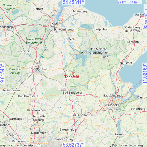
Tensfeld GPS coordinates[2]
54° 2' 32.244" North, 10° 19' 6.816" East
| Map corner | latitude | longitude |
|---|---|---|
| Upper-left | 54.45311°, | 9.61543° |
| Center: | 54.04229°, | 10.31856° |
| Lower-right: | 53.62737°, | 11.02169° |
| Map W x H: | 91.8×91.8 km | = 57×57mi |
| max Lat: | 55.01917° ⇑6.8% North |
| Tensfeld: | 54.04229° |
| min Lat: | ⇓93.2% South 47.40724° |
| min Long | Tensfeld | max Long |
| 5.92978° | 10.31856° | 14.98853° |
| W 55.8%⇐ | ⇒44.2% E |
Elevation
Elevation of Tensfeld is 48 m = 157 ft, and this is 201.1 m = 660 ft below average elevation for this country.
| Max E: |
1256 m = 4121 ft | 79.4% |
| Avg. | 249.1 m = 817 ft | |
| Tensfeld | 48 m = 157 ft | |
Min E: |
-5 m = -16 ft | 20.6% |
See also: Germany elevation on elevation.city.
Geographical zone
Tensfeld is located in North temperate zone (between Tropic of Cancer and the Arctic Circle). Distance of this North polar circle is 1392.2 km =865.1 mi to North.| Distance of | km | miles | from Tensfeld |
|---|---|---|---|
| North Pole | 3998.1 | 2484.3 | to North |
| Arctic Circle | 1392.2 | 865.1 | to North |
| Tropic Cancer | 3403 | 2114.5 | to South |
| Equator | 6008.9 | 3733.8 | to South |


Nearby cities:
15 places around Tensfeld: (largest is in red/bold)
• Belau
7.3 km =4.5 mi,  327°
327°
• Blunk
3.7 km =2.3 mi,  184°
184°
• Bornhöved
6.2 km =3.9 mi,  295°
295°
• Daldorf
5.3 km =3.3 mi,  237°
237°
• Damsdorf
2.7 km =1.7 mi,  357°
357°
• Gönnebek
8 km =5 mi,  275°
275°
• Klein Rönnau
8.4 km =5.2 mi, 180°
• Negernbötel
7.9 km =4.9 mi,  214°
214°
• Nehms
4.2 km =2.6 mi,  132°
132°
• Nehmten
8.3 km =5.2 mi,  39°
39°
• Schmalensee
5.5 km =3.4 mi, 325°
• Seedorf
6.5 km =4 mi,  82°
82°
• Stocksee
5.5 km =3.4 mi,  15°
15°
• Tarbek
3.5 km =2.2 mi, 284°
• Trappenkamp
6.8 km =4.2 mi,  267°
267°
Sources, notices
• [Note1] Compared only with cities in Germany existing in our database
• [Src1] Map data: © OpenStreetMap contributors (CC-BY-SA)
• [Src2] Other city data from geonames.org with taken over terms of usage.
• [Src3] Geographical zone / Annual Mean Temperature by Robert A. Rohde @ Wikipedia
