Teicha geodata
Teicha (Saxony-Anhalt) is a populated place; located in Germany in Europe/Berlin (GMT+2) time zone. With population of 1,479 people, there are 5922 cities with bigger population in this country. Compared to other cities in Germany, 67% of cities are located further ↓South; 81.2% of cities are located further ←West and 68% of cities have higher elevation than Teicha. Note1


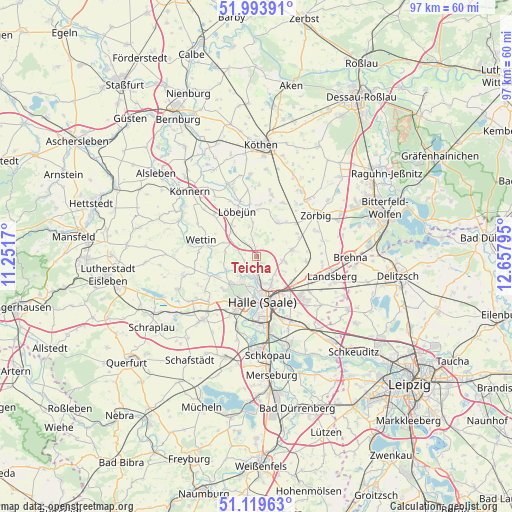
Teicha GPS coordinates[2]
51° 33' 31.932" North, 11° 57' 17.352" East
| Map corner | latitude | longitude |
|---|---|---|
| Upper-left | 51.99391°, | 11.2517° |
| Center: | 51.55887°, | 11.95482° |
| Lower-right: | 51.11963°, | 12.65795° |
| Map W x H: | 97.2×97.2 km | = 60.4×60.4mi |
| max Lat: | 55.01917° ⇑33% North |
| Teicha: | 51.55887° |
| min Lat: | ⇓67% South 47.40724° |
| min Long | Teicha | max Long |
| 5.92978° | 11.95482° | 14.98853° |
| W 81.2%⇐ | ⇒18.8% E |
Elevation
Elevation of Teicha is 102 m = 335 ft, and this is 147.1 m = 483 ft below average elevation for this country.
| Max E: |
1256 m = 4121 ft | 68% |
| Avg. | 249.1 m = 817 ft | |
| Teicha | 102 m = 335 ft | |
Min E: |
-5 m = -16 ft | 32% |
See also: Germany elevation on elevation.city.
Geographical zone
Teicha is located in North temperate zone (between Tropic of Cancer and the Arctic Circle). Distance of this North polar circle is 1668.4 km =1036.7 mi to North.| Distance of | km | miles | from Teicha |
|---|---|---|---|
| North Pole | 4274.3 | 2655.9 | to North |
| Arctic Circle | 1668.4 | 1036.7 | to North |
| Tropic Cancer | 3126.9 | 1943 | to South |
| Equator | 5732.8 | 3562.2 | to South |


Nearby cities:
15 places around Teicha: (largest is in red/bold)
• Brachstedt
6.8 km =4.2 mi,  78°
78°
• Brachwitz
6.4 km =4 mi,  247°
247°
• Braschwitz
8.2 km =5.1 mi,  119°
119°
• Gutenberg
1.8 km =1.1 mi,  138°
138°
• Halle (Saale)
8.8 km =5.5 mi,  168°
168°
• Krosigk
5.8 km =3.6 mi,  345°
345°
• Morl
2.4 km =1.5 mi, 253°
• Nauendorf
6.8 km =4.2 mi,  314°
314°
• Oppin
5.5 km =3.4 mi,  98°
98°
• Petersberg
4.2 km =2.6 mi,  358°
358°
• Plötz
8.8 km =5.5 mi, 357°
• Schrenz
8.7 km =5.4 mi,  68°
68°
• Sennewitz
1.7 km =1.1 mi,  186°
186°
• Trebitz
3.9 km =2.4 mi,  321°
321°
• Wallwitz
3 km =1.9 mi, 323°
Sources, notices
• [Note1] Compared only with cities in Germany existing in our database
• [Src1] Map data: © OpenStreetMap contributors (CC-BY-SA)
• [Src2] Other city data from geonames.org with taken over terms of usage.
• [Src3] Geographical zone / Annual Mean Temperature by Robert A. Rohde @ Wikipedia
