Schönheide geodata
Schönheide (Saxony) is a populated place; located in Germany in Europe/Berlin (GMT+2) time zone. With population of 5,310 people, there are 2697 cities with bigger population in this country. Compared to other cities in Germany, 52.7% of cities are located further ↑North; 88.2% of cities are located further ←West and 97.2% of cities have lower elevation than Schönheide. Note1


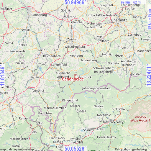
Schönheide GPS coordinates[2]
50° 30' 16.488" North, 12° 31' 17.688" East
| Map corner | latitude | longitude |
|---|---|---|
| Upper-left | 50.94966°, | 11.81846° |
| Center: | 50.50458°, | 12.52158° |
| Lower-right: | 50.05526°, | 13.22471° |
| Map W x H: | 99.4×99.4 km | = 61.8×61.8mi |
| max Lat: | 55.01917° ⇑52.7% North |
| Schönheide: | 50.50458° |
| min Lat: | ⇓47.3% South 47.40724° |
| min Long | Schönheide | max Long |
| 5.92978° | 12.52158° | 14.98853° |
| W 88.2%⇐ | ⇒11.8% E |
Elevation
Elevation of Schönheide is 669 m = 2195 ft, and this is 419.9 m = 1378 ft above average elevation for this country.
| Max E: |
1256 m = 4121 ft | 2.8% |
| Schönheide | 669 m 2195 ft | |
| Avg. | 249.1 m = 817 ft | |
Min E: |
-5 m = -16 ft | 97.2% |
See also: Germany elevation on elevation.city.
Geographical zone
Schönheide is located in North temperate zone (between Tropic of Cancer and the Arctic Circle). Distance of this North polar circle is 1785.6 km =1109.5 mi to North.| Distance of | km | miles | from Schönheide |
|---|---|---|---|
| North Pole | 4391.5 | 2728.8 | to North |
| Arctic Circle | 1785.6 | 1109.5 | to North |
| Tropic Cancer | 3009.7 | 1870.1 | to South |
| Equator | 5615.6 | 3489.4 | to South |


Nearby cities:
15 places around Schönheide: (largest is in red/bold)
• Auerbach
8.6 km =5.3 mi,  275°
275°
• Bockau
12.4 km =7.7 mi,  70°
70°
• Eibenstock
5.6 km =3.5 mi,  101°
101°
• Ellefeld
9.7 km =6 mi,  256°
256°
• Falkenstein
11 km =6.8 mi,  254°
254°
• Grünbach
12.8 km =8 mi,  241°
241°
• Hammerbrücke
10.8 km =6.7 mi,  224°
224°
• Kirchberg
13 km =8.1 mi,  0°
0°
• Morgenröthe-Rautenkranz
6.5 km =4 mi,  185°
185°
• Muldenhammer
6.6 km =4.1 mi,  204°
204°
• Rodewisch
8.2 km =5.1 mi,  290°
290°
• Sosa
9.2 km =5.7 mi,  93°
93°
• Stützengrün
3.3 km =2.1 mi,  14°
14°
• Tannenbergsthal
8.8 km =5.5 mi,  210°
210°
• Zschorlau
11.4 km =7.1 mi,  52°
52°
Sources, notices
• [Note1] Compared only with cities in Germany existing in our database
• [Src1] Map data: © OpenStreetMap contributors (CC-BY-SA)
• [Src2] Other city data from geonames.org with taken over terms of usage.
• [Src3] Geographical zone / Annual Mean Temperature by Robert A. Rohde @ Wikipedia
