Ostochtersum geodata
Ostochtersum (Lower Saxony) is a seat of a fourth-order administrative division; located in Germany in Europe/Berlin (GMT+2) time zone. In our database, there are 11009 cities with bigger population. Compared to other cities in Germany, 87.1% of cities are located further ↓South; 86.5% of cities are located further →East and 98.1% of cities have higher elevation than Ostochtersum. Note1


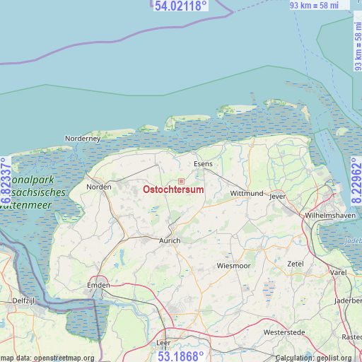
Ostochtersum GPS coordinates[2]
53° 36' 21.78" North, 7° 31' 35.364" East
| Map corner | latitude | longitude |
|---|---|---|
| Upper-left | 54.02118°, | 6.82337° |
| Center: | 53.60605°, | 7.52649° |
| Lower-right: | 53.1868°, | 8.22962° |
| Map W x H: | 92.8×92.8 km | = 57.7×57.7mi |
| max Lat: | 55.01917° ⇑12.9% North |
| Ostochtersum: | 53.60605° |
| min Lat: | ⇓87.1% South 47.40724° |
| min Long | Ostochtersum | max Long |
| 5.92978° | 7.52649° | 14.98853° |
| W 13.5%⇐ | ⇒86.5% E |
Elevation
Elevation of Ostochtersum is 2 m = 7 ft, and this is 247.1 m = 811 ft below average elevation for this country.
| Max E: |
1256 m = 4121 ft | 98.1% |
| Avg. | 249.1 m = 817 ft | |
| Ostochtersum | 2 m = 7 ft | |
Min E: |
-5 m = -16 ft | 1.9% |
See also: Germany elevation on elevation.city.
Geographical zone
Ostochtersum is located in North temperate zone (between Tropic of Cancer and the Arctic Circle). Distance of this North polar circle is 1440.7 km =895.2 mi to North.| Distance of | km | miles | from Ostochtersum |
|---|---|---|---|
| North Pole | 4046.6 | 2514.4 | to North |
| Arctic Circle | 1440.7 | 895.2 | to North |
| Tropic Cancer | 3354.5 | 2084.4 | to South |
| Equator | 5960.4 | 3703.6 | to South |


Nearby cities:
15 places around Ostochtersum: (largest is in red/bold)
• Bensersiel
8.2 km =5.1 mi,  24°
24°
• Berumbur
13.9 km =8.6 mi,  267°
267°
• Blomberg
3.9 km =2.4 mi,  147°
147°
• Dornum
7.8 km =4.8 mi,  305°
305°
• Dunum
8.2 km =5.1 mi,  94°
94°
• Esens
7.4 km =4.6 mi,  50°
50°
• Eversmeer
8 km =5 mi,  230°
230°
• Holtgast
4.2 km =2.6 mi, 50°
• Moorweg
4.8 km =3 mi, 51°
• Nenndorf
6.6 km =4.1 mi,  247°
247°
• Schweindorf
4 km =2.5 mi,  260°
260°
• Stedesdorf
9.7 km =6 mi,  71°
71°
• Utarp
3.1 km =1.9 mi,  292°
292°
• Werdum
13.9 km =8.6 mi, 65°
• Westerholt
5.1 km =3.2 mi, 262°
Sources, notices
• [Note1] Compared only with cities in Germany existing in our database
• [Src1] Map data: © OpenStreetMap contributors (CC-BY-SA)
• [Src2] Other city data from geonames.org with taken over terms of usage.
• [Src3] Geographical zone / Annual Mean Temperature by Robert A. Rohde @ Wikipedia
