Nossentiner Hütte geodata
Nossentiner Hütte (Mecklenburg-Vorpommern) is a populated place; located in Germany in Europe/Berlin (GMT+2) time zone. With population of 737 people, there are 8162 cities with bigger population in this country. Compared to other cities in Germany, 86% of cities are located further ↓South; 87.2% of cities are located further ←West and 73.6% of cities have higher elevation than Nossentiner Hütte. Note1
Administrative division(s):
- Level 1: Mecklenburg-Vorpommern
- Level 3: Mecklenburgische Seenplatte
- Level 4: Nossentiner Hütte


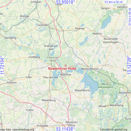
Nossentiner Hütte GPS coordinates[2]
53° 32' 3.624" North, 12° 25' 26.976" East
| Map corner | latitude | longitude |
|---|---|---|
| Upper-left | 53.95018°, | 11.72104° |
| Center: | 53.53434°, | 12.42416° |
| Lower-right: | 53.11438°, | 13.12729° |
| Map W x H: | 92.9×92.9 km | = 57.7×57.7mi |
| max Lat: | 55.01917° ⇑14% North |
| Nossentiner Hütte: | 53.53434° |
| min Lat: | ⇓86% South 47.40724° |
| min Long | Nossentiner Hü | max Long |
| 5.92978° | 12.42416° | 14.98853° |
| W 87.2%⇐ | ⇒12.8% E |
Elevation
Elevation of Nossentiner Hütte is 69 m = 226 ft, and this is 180.1 m = 591 ft below average elevation for this country.
| Max E: |
1256 m = 4121 ft | 73.6% |
| Avg. | 249.1 m = 817 ft | |
| Nossentiner Hütte | 69 m = 226 ft | |
Min E: |
-5 m = -16 ft | 26.4% |
See also: Germany elevation on elevation.city.
Geographical zone
Nossentiner Hütte is located in North temperate zone (between Tropic of Cancer and the Arctic Circle). Distance of this North polar circle is 1448.7 km =900.2 mi to North.| Distance of | km | miles | from Nossentiner Hütte |
|---|---|---|---|
| North Pole | 4054.6 | 2519.4 | to North |
| Arctic Circle | 1448.7 | 900.2 | to North |
| Tropic Cancer | 3346.5 | 2079.4 | to South |
| Equator | 5952.5 | 3698.7 | to South |


Nearby cities:
15 places around Nossentiner Hütte: (largest is in red/bold)
• Alt Schwerin
5.7 km =3.5 mi,  244°
244°
• Grabowhöfe
11.9 km =7.4 mi,  71°
71°
• Göhren-Lebbin
8.4 km =5.2 mi,  136°
136°
• Hohen Wangelin
8.6 km =5.3 mi,  359°
359°
• Jabel
8 km =5 mi,  87°
87°
• Klink
14.5 km =9 mi,  115°
115°
• Krakow am See
16.5 km =10.3 mi,  322°
322°
• Kuchelmiß
17 km =10.6 mi,  345°
345°
• Langhagen
16.9 km =10.5 mi,  2°
2°
• Malchow
6.6 km =4.1 mi,  181°
181°
• Plau am See
13.6 km =8.5 mi,  231°
231°
• Sietow
13.2 km =8.2 mi, 138°
• Vielist
14.3 km =8.9 mi,  81°
81°
• Vollrathsruhe
12.9 km =8 mi,  19°
19°
• Waren
17 km =10.6 mi,  95°
95°
Sources, notices
• [Note1] Compared only with cities in Germany existing in our database
• [Src1] Map data: © OpenStreetMap contributors (CC-BY-SA)
• [Src2] Other city data from geonames.org with taken over terms of usage.
• [Src3] Geographical zone / Annual Mean Temperature by Robert A. Rohde @ Wikipedia
