Malchin geodata
Malchin (Mecklenburg-Vorpommern) is a populated place; located in Germany in Europe/Berlin (GMT+2) time zone. With population of 8,202 people, there are 1926 cities with bigger population in this country. Compared to other cities in Germany, 89.2% of cities are located further ↓South; 90.5% of cities are located further ←West and 94.3% of cities have higher elevation than Malchin. Note1
Administrative division(s):
- Level 1: Mecklenburg-Vorpommern
- Level 3: Mecklenburgische Seenplatte
- Level 4: Malchin


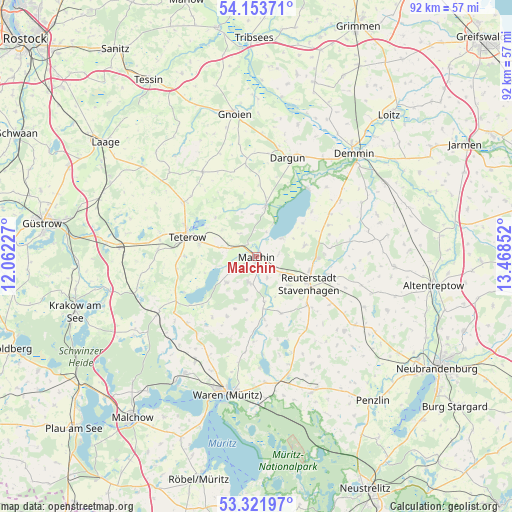
Malchin GPS coordinates[2]
53° 44' 23.64" North, 12° 45' 55.404" East
| Map corner | latitude | longitude |
|---|---|---|
| Upper-left | 54.15371°, | 12.06227° |
| Center: | 53.7399°, | 12.76539° |
| Lower-right: | 53.32197°, | 13.46852° |
| Map W x H: | 92.5×92.5 km | = 57.5×57.5mi |
| max Lat: | 55.01917° ⇑10.8% North |
| Malchin: | 53.7399° |
| min Lat: | ⇓89.2% South 47.40724° |
| min Long | Malchin | max Long |
| 5.92978° | 12.76539° | 14.98853° |
| W 90.5%⇐ | ⇒9.5% E |
Elevation
Elevation of Malchin is 10 m = 33 ft, and this is 239.1 m = 784 ft below average elevation for this country.
| Max E: |
1256 m = 4121 ft | 94.3% |
| Avg. | 249.1 m = 817 ft | |
| Malchin | 10 m = 33 ft | |
Min E: |
-5 m = -16 ft | 5.7% |
See also: Germany elevation on elevation.city.
Geographical zone
Malchin is located in North temperate zone (between Tropic of Cancer and the Arctic Circle). Distance of this North polar circle is 1425.9 km =886 mi to North.| Distance of | km | miles | from Malchin |
|---|---|---|---|
| North Pole | 4031.7 | 2505.2 | to North |
| Arctic Circle | 1425.9 | 886 | to North |
| Tropic Cancer | 3369.4 | 2093.6 | to South |
| Equator | 5975.3 | 3712.9 | to South |


Nearby cities:
15 places around Malchin: (largest is in red/bold)
• Basedow
7.3 km =4.5 mi,  229°
229°
• Borrentin
15.4 km =9.6 mi,  59°
59°
• Dahmen
15 km =9.3 mi, 234°
• Faulenrost
11.5 km =7.1 mi,  172°
172°
• Gielow
4.9 km =3 mi,  195°
195°
• Ivenack
13.8 km =8.6 mi,  103°
103°
• Jürgenstorf
12.7 km =7.9 mi,  133°
133°
• Kummerow
5.5 km =3.4 mi, 55°
• Lelkendorf
11.6 km =7.2 mi,  349°
349°
• Neukalen
9.4 km =5.8 mi,  10°
10°
• Pampow
10.5 km =6.5 mi,  279°
279°
• Remplin
4.8 km =3 mi,  289°
289°
• Tessenow
12 km =7.5 mi,  253°
253°
• Teterow
13.1 km =8.1 mi, 287°
• Warsow
12.1 km =7.5 mi, 14°
Sources, notices
• [Note1] Compared only with cities in Germany existing in our database
• [Src1] Map data: © OpenStreetMap contributors (CC-BY-SA)
• [Src2] Other city data from geonames.org with taken over terms of usage.
• [Src3] Geographical zone / Annual Mean Temperature by Robert A. Rohde @ Wikipedia
