Loitzendorf geodata
Loitzendorf (Bavaria) is a seat of a fourth-order administrative division; located in Germany in Europe/Berlin (GMT+2) time zone. With population of 648 people, there are 8563 cities with bigger population in this country. Compared to other cities in Germany, 81.9% of cities are located further ↑North; 89.4% of cities are located further ←West and 74.8% of cities have lower elevation than Loitzendorf. Note1
Administrative division(s):
- Level 1: Bavaria
- Level 2: Lower Bavaria
- Level 3: Landkreis Straubing-Bogen
- Level 4: Loitzendorf


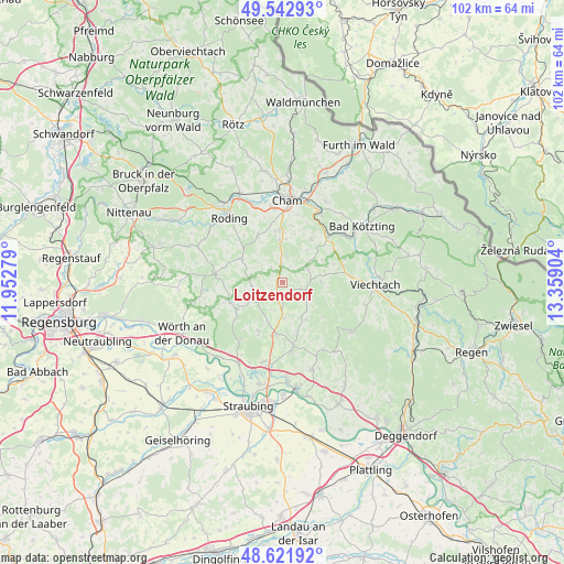
Loitzendorf GPS coordinates[2]
49° 5' 4.416" North, 12° 39' 21.276" East
| Map corner | latitude | longitude |
|---|---|---|
| Upper-left | 49.54293°, | 11.95279° |
| Center: | 49.08456°, | 12.65591° |
| Lower-right: | 48.62192°, | 13.35904° |
| Map W x H: | 102.4×102.4 km | = 63.6×63.6mi |
| max Lat: | 55.01917° ⇑81.9% North |
| Loitzendorf: | 49.08456° |
| min Lat: | ⇓18.1% South 47.40724° |
| min Long | Loitzendorf | max Long |
| 5.92978° | 12.65591° | 14.98853° |
| W 89.4%⇐ | ⇒10.6% E |
Elevation
Elevation of Loitzendorf is 396 m = 1299 ft, and this is 146.9 m = 482 ft above average elevation for this country.
| Max E: |
1256 m = 4121 ft | 25.2% |
| Loitzendorf | 396 m 1299 ft | |
| Avg. | 249.1 m = 817 ft | |
Min E: |
-5 m = -16 ft | 74.8% |
See also: Germany elevation on elevation.city.
Geographical zone
Loitzendorf is located in North temperate zone (between Tropic of Cancer and the Arctic Circle). Distance of this North polar circle is 1943.5 km =1207.6 mi to North.| Distance of | km | miles | from Loitzendorf |
|---|---|---|---|
| North Pole | 4549.4 | 2826.9 | to North |
| Arctic Circle | 1943.5 | 1207.6 | to North |
| Tropic Cancer | 2851.8 | 1772 | to South |
| Equator | 5457.7 | 3391.3 | to South |


Nearby cities:
15 places around Loitzendorf: (largest is in red/bold)
• Ascha
9.5 km =5.9 mi,  189°
189°
• Falkenfels
10 km =6.2 mi,  206°
206°
• Haibach
8 km =5 mi,  147°
147°
• Haselbach
9.4 km =5.8 mi,  163°
163°
• Konzell
4.2 km =2.6 mi,  108°
108°
• Michelsneukirchen
8.6 km =5.3 mi,  299°
299°
• Miltach
11.9 km =7.4 mi,  43°
43°
• Mitterfels
12.1 km =7.5 mi,  172°
172°
• Rattenberg
6.8 km =4.2 mi,  88°
88°
• Rattiszell
6.5 km =4 mi,  177°
177°
• Schorndorf
9.6 km =6 mi,  331°
331°
• Stallwang
3.7 km =2.3 mi, 181°
• Traitsching
7.3 km =4.5 mi,  356°
356°
• Wiesenfelden
9.7 km =6 mi,  239°
239°
• Zandt
9.2 km =5.7 mi, 37°
Sources, notices
• [Note1] Compared only with cities in Germany existing in our database
• [Src1] Map data: © OpenStreetMap contributors (CC-BY-SA)
• [Src2] Other city data from geonames.org with taken over terms of usage.
• [Src3] Geographical zone / Annual Mean Temperature by Robert A. Rohde @ Wikipedia
