Löbichau geodata
Löbichau (Thuringia) is a seat of a fourth-order administrative division; located in Germany in Europe/Berlin (GMT+2) time zone. With population of 1,263 people, there are 6408 cities with bigger population in this country. Compared to other cities in Germany, 55.9% of cities are located further ↓South; 85.4% of cities are located further ←West and 51.6% of cities have lower elevation than Löbichau. Note1


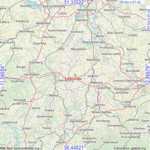
Löbichau GPS coordinates[2]
50° 53' 37.788" North, 12° 15' 49.176" East
| Map corner | latitude | longitude |
|---|---|---|
| Upper-left | 51.33522°, | 11.56054° |
| Center: | 50.89383°, | 12.26366° |
| Lower-right: | 50.44821°, | 12.96679° |
| Map W x H: | 98.6×98.6 km | = 61.3×61.3mi |
| max Lat: | 55.01917° ⇑44.1% North |
| Löbichau: | 50.89383° |
| min Lat: | ⇓55.9% South 47.40724° |
| min Long | Löbichau | max Long |
| 5.92978° | 12.26366° | 14.98853° |
| W 85.4%⇐ | ⇒14.6% E |
Elevation
Elevation of Löbichau is 237 m = 778 ft, and this is 12.1 m = 40 ft below average elevation for this country.
| Max E: |
1256 m = 4121 ft | 48.4% |
| Avg. | 249.1 m = 817 ft | |
| Löbichau | 237 m = 778 ft | |
Min E: |
-5 m = -16 ft | 51.6% |
See also: Germany elevation on elevation.city.
Geographical zone
Löbichau is located in North temperate zone (between Tropic of Cancer and the Arctic Circle). Distance of this North polar circle is 1742.3 km =1082.6 mi to North.| Distance of | km | miles | from Löbichau |
|---|---|---|---|
| North Pole | 4348.2 | 2701.8 | to North |
| Arctic Circle | 1742.3 | 1082.6 | to North |
| Tropic Cancer | 3052.9 | 1897 | to South |
| Equator | 5658.9 | 3516.3 | to South |


Nearby cities:
15 places around Löbichau: (largest is in red/bold)
• Bethenhausen
6 km =3.7 mi,  311°
311°
• Dobitschen
7.2 km =4.5 mi,  9°
9°
• Drogen
4.5 km =2.8 mi,  55°
55°
• Großenstein
4.5 km =2.8 mi,  278°
278°
• Göllnitz
7.2 km =4.5 mi,  33°
33°
• Heukewalde
6.7 km =4.2 mi,  178°
178°
• Korbussen
6.4 km =4 mi,  266°
266°
• Lumpzig
6.2 km =3.9 mi,  1°
1°
• Nöbdenitz
3.3 km =2.1 mi,  155°
155°
• Paitzdorf
5.9 km =3.7 mi,  214°
214°
• Posterstein
3 km =1.9 mi, 176°
• Ronneburg
6.4 km =4 mi,  237°
237°
• Schmölln
6.3 km =3.9 mi,  87°
87°
• Vollmershain
5.5 km =3.4 mi,  152°
152°
• Wildenbörten
2.9 km =1.8 mi, 28°
Sources, notices
• [Note1] Compared only with cities in Germany existing in our database
• [Src1] Map data: © OpenStreetMap contributors (CC-BY-SA)
• [Src2] Other city data from geonames.org with taken over terms of usage.
• [Src3] Geographical zone / Annual Mean Temperature by Robert A. Rohde @ Wikipedia
