Lahr geodata
Lahr (Rheinland-Pfalz) is a seat of a fourth-order administrative division; located in Germany in Europe/Berlin (GMT+2) time zone. With population of 181 people, there are 10555 cities with bigger population in this country. Compared to other cities in Germany, 60.8% of cities are located further ↑North; 89% of cities are located further →East and 68.2% of cities have lower elevation than Lahr. Note1


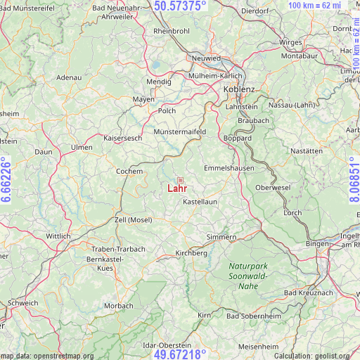
Lahr GPS coordinates[2]
50° 7' 30.324" North, 7° 21' 55.404" East
| Map corner | latitude | longitude |
|---|---|---|
| Upper-left | 50.57375°, | 6.66226° |
| Center: | 50.12509°, | 7.36539° |
| Lower-right: | 49.67218°, | 8.06851° |
| Map W x H: | 100.2×100.2 km | = 62.3×62.3mi |
| max Lat: | 55.01917° ⇑60.8% North |
| Lahr: | 50.12509° |
| min Lat: | ⇓39.2% South 47.40724° |
| min Long | Lahr | max Long |
| 5.92978° | 7.36539° | 14.98853° |
| W 11%⇐ | ⇒89% E |
Elevation
Elevation of Lahr is 344 m = 1129 ft, and this is 94.9 m = 311 ft above average elevation for this country.
| Max E: |
1256 m = 4121 ft | 31.8% |
| Lahr | 344 m 1129 ft | |
| Avg. | 249.1 m = 817 ft | |
Min E: |
-5 m = -16 ft | 68.2% |
See also: Germany elevation on elevation.city.
Geographical zone
Lahr is located in North temperate zone (between Tropic of Cancer and the Arctic Circle). Distance of this North polar circle is 1827.8 km =1135.7 mi to North.| Distance of | km | miles | from Lahr |
|---|---|---|---|
| North Pole | 4433.7 | 2755 | to North |
| Arctic Circle | 1827.8 | 1135.7 | to North |
| Tropic Cancer | 2967.5 | 1843.9 | to South |
| Equator | 5573.4 | 3463.1 | to South |


Nearby cities:
15 places around Lahr: (largest is in red/bold)
• Altstrimmig
5.4 km =3.4 mi,  239°
239°
• Beltheim
7.2 km =4.5 mi,  107°
107°
• Buch
5.7 km =3.5 mi,  162°
162°
• Dommershausen
3.7 km =2.3 mi,  41°
41°
• Korweiler
4.6 km =2.9 mi,  127°
127°
• Lieg
1.4 km =0.9 mi,  309°
309°
• Lütz
4.8 km =3 mi,  346°
346°
• Macken
6.9 km =4.3 mi,  20°
20°
• Mastershausen
6.6 km =4.1 mi,  189°
189°
• Mörsdorf
3 km =1.9 mi,  201°
201°
• Müden
6.9 km =4.3 mi,  344°
344°
• Sosberg
5.2 km =3.2 mi,  206°
206°
• Treis-Karden
6.9 km =4.3 mi,  319°
319°
• Uhler
6.7 km =4.2 mi, 133°
• Zilshausen
1.6 km =1 mi, 126°
Sources, notices
• [Note1] Compared only with cities in Germany existing in our database
• [Src1] Map data: © OpenStreetMap contributors (CC-BY-SA)
• [Src2] Other city data from geonames.org with taken over terms of usage.
• [Src3] Geographical zone / Annual Mean Temperature by Robert A. Rohde @ Wikipedia
