Klamp geodata
Klamp (Schleswig-Holstein) is a seat of a fourth-order administrative division; located in Germany in Europe/Berlin (GMT+2) time zone. With population of 768 people, there are 8022 cities with bigger population in this country. Compared to other cities in Germany, 96.2% of cities are located further ↓South; 59.4% of cities are located further ←West and 76.1% of cities have higher elevation than Klamp. Note1


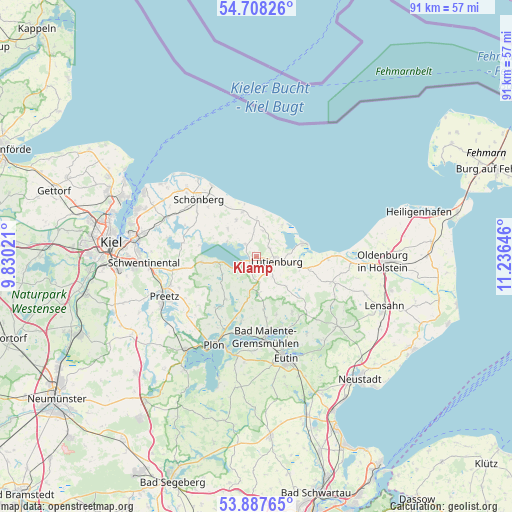
Klamp GPS coordinates[2]
54° 18' 0" North, 10° 31' 59.988" East
| Map corner | latitude | longitude |
|---|---|---|
| Upper-left | 54.70826°, | 9.83021° |
| Center: | 54.3°, | 10.53333° |
| Lower-right: | 53.88765°, | 11.23646° |
| Map W x H: | 91.2×91.2 km | = 56.7×56.7mi |
| max Lat: | 55.01917° ⇑3.8% North |
| Klamp: | 54.3° |
| min Lat: | ⇓96.2% South 47.40724° |
| min Long | Klamp | max Long |
| 5.92978° | 10.53333° | 14.98853° |
| W 59.4%⇐ | ⇒40.6% E |
Elevation
Elevation of Klamp is 59 m = 194 ft, and this is 190.1 m = 624 ft below average elevation for this country.
| Max E: |
1256 m = 4121 ft | 76.1% |
| Avg. | 249.1 m = 817 ft | |
| Klamp | 59 m = 194 ft | |
Min E: |
-5 m = -16 ft | 23.9% |
See also: Germany elevation on elevation.city.
Geographical zone
Klamp is located in North temperate zone (between Tropic of Cancer and the Arctic Circle). Distance of this North polar circle is 1363.6 km =847.3 mi to North.| Distance of | km | miles | from Klamp |
|---|---|---|---|
| North Pole | 3969.5 | 2466.5 | to North |
| Arctic Circle | 1363.6 | 847.3 | to North |
| Tropic Cancer | 3431.7 | 2132.4 | to South |
| Equator | 6037.6 | 3751.6 | to South |


Nearby cities:
15 places around Klamp: (largest is in red/bold)
• Behrensdorf
7.3 km =4.5 mi,  39°
39°
• Blekendorf
8.3 km =5.2 mi,  103°
103°
• Dannau
6.6 km =4.1 mi,  174°
174°
• Giekau
2.1 km =1.3 mi,  329°
329°
• Helmstorf
4.7 km =2.9 mi,  113°
113°
• Hohenfelde
7.7 km =4.8 mi,  343°
343°
• Högsdorf
7.8 km =4.8 mi,  135°
135°
• Köhn
7.8 km =4.8 mi,  315°
315°
• Lammershagen
5.7 km =3.5 mi,  251°
251°
• Lütjenburg
3.8 km =2.4 mi, 103°
• Panker
4.3 km =2.7 mi,  30°
30°
• Rantzau
5.7 km =3.5 mi,  191°
191°
• Schwartbuck
7.3 km =4.5 mi, 331°
• Selent
7 km =4.3 mi,  259°
259°
• Tröndel
3.9 km =2.4 mi, 343°
Sources, notices
• [Note1] Compared only with cities in Germany existing in our database
• [Src1] Map data: © OpenStreetMap contributors (CC-BY-SA)
• [Src2] Other city data from geonames.org with taken over terms of usage.
• [Src3] Geographical zone / Annual Mean Temperature by Robert A. Rohde @ Wikipedia
