Kehl geodata
Kehl (Baden-Württemberg) is a populated place; located in Germany in Europe/Berlin (GMT+2) time zone. With population of 34,009 people, there are 396 cities with bigger population in this country. Compared to other cities in Germany, 88.1% of cities are located further ↑North; 80.7% of cities are located further →East and 62% of cities have higher elevation than Kehl. Note1
Administrative division(s):
- Level 1: Baden-Württemberg
- Level 2: Freiburg Region
- Level 3: Ortenaukreis
- Level 4: Kehl


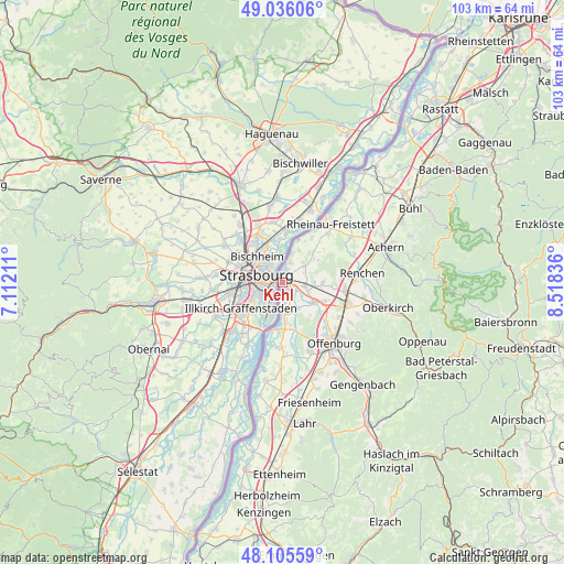
Kehl GPS coordinates[2]
48° 34' 22.692" North, 7° 48' 54.828" East
| Map corner | latitude | longitude |
|---|---|---|
| Upper-left | 49.03606°, | 7.11211° |
| Center: | 48.57297°, | 7.81523° |
| Lower-right: | 48.10559°, | 8.51836° |
| Map W x H: | 103.5×103.5 km | = 64.3×64.3mi |
| max Lat: | 55.01917° ⇑88.1% North |
| Kehl: | 48.57297° |
| min Lat: | ⇓11.9% South 47.40724° |
| min Long | Kehl | max Long |
| 5.92978° | 7.81523° | 14.98853° |
| W 19.3%⇐ | ⇒80.7% E |
Elevation
Elevation of Kehl is 138 m = 453 ft, and this is 111.1 m = 365 ft below average elevation for this country.
| Max E: |
1256 m = 4121 ft | 62% |
| Avg. | 249.1 m = 817 ft | |
| Kehl | 138 m = 453 ft | |
Min E: |
-5 m = -16 ft | 38% |
See also: Germany elevation on elevation.city.
Geographical zone
Kehl is located in North temperate zone (between Tropic of Cancer and the Arctic Circle). Distance of this North polar circle is 2000.4 km =1243 mi to North.| Distance of | km | miles | from Kehl |
|---|---|---|---|
| North Pole | 4606.3 | 2862.2 | to North |
| Arctic Circle | 2000.4 | 1243 | to North |
| Tropic Cancer | 2794.9 | 1736.7 | to South |
| Equator | 5400.8 | 3355.9 | to South |


Nearby cities:
15 places around Kehl: (largest is in red/bold)
• Achern
20.2 km =12.6 mi,  71°
71°
• Appenweier
13.1 km =8.1 mi,  109°
109°
• Durbach
17.3 km =10.7 mi,  120°
120°
• Haslach
17.8 km =11.1 mi,  92°
92°
• Lautenbach
18.6 km =11.6 mi, 122°
• Meißenheim
18.4 km =11.4 mi,  189°
189°
• Oberkirch
19.9 km =12.4 mi,  103°
103°
• Offenburg
14.6 km =9.1 mi,  139°
139°
• Ohlsbach
20.4 km =12.7 mi, 139°
• Ortenberg
17.8 km =11.1 mi, 139°
• Renchen
14.7 km =9.1 mi,  83°
83°
• Rheinau
13.7 km =8.5 mi,  40°
40°
• Sasbach
21.8 km =13.5 mi, 70°
• Schutterwald
14.6 km =9.1 mi,  159°
159°
• Willstätt
6.8 km =4.2 mi, 122°
Sources, notices
• [Note1] Compared only with cities in Germany existing in our database
• [Src1] Map data: © OpenStreetMap contributors (CC-BY-SA)
• [Src2] Other city data from geonames.org with taken over terms of usage.
• [Src3] Geographical zone / Annual Mean Temperature by Robert A. Rohde @ Wikipedia
