Hohenthurm geodata
Hohenthurm (Saxony-Anhalt) is a populated place; located in Germany in Europe/Berlin (GMT+2) time zone. With population of 2,285 people, there are 4693 cities with bigger population in this country. Compared to other cities in Germany, 66.5% of cities are located further ↓South; 83.2% of cities are located further ←West and 67.6% of cities have higher elevation than Hohenthurm. Note1


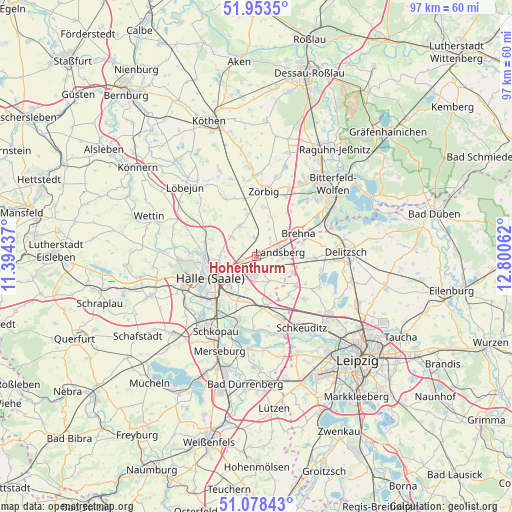
Hohenthurm GPS coordinates[2]
51° 31' 5.052" North, 12° 5' 50.964" East
| Map corner | latitude | longitude |
|---|---|---|
| Upper-left | 51.9535°, | 11.39437° |
| Center: | 51.51807°, | 12.09749° |
| Lower-right: | 51.07843°, | 12.80062° |
| Map W x H: | 97.3×97.3 km | = 60.5×60.5mi |
| max Lat: | 55.01917° ⇑33.5% North |
| Hohenthurm: | 51.51807° |
| min Lat: | ⇓66.5% South 47.40724° |
| min Long | Hohenthurm | max Long |
| 5.92978° | 12.09749° | 14.98853° |
| W 83.2%⇐ | ⇒16.8% E |
Elevation
Elevation of Hohenthurm is 104 m = 341 ft, and this is 145.1 m = 476 ft below average elevation for this country.
| Max E: |
1256 m = 4121 ft | 67.6% |
| Avg. | 249.1 m = 817 ft | |
| Hohenthurm | 104 m = 341 ft | |
Min E: |
-5 m = -16 ft | 32.4% |
See also: Germany elevation on elevation.city.
Geographical zone
Hohenthurm is located in North temperate zone (between Tropic of Cancer and the Arctic Circle). Distance of this North polar circle is 1672.9 km =1039.5 mi to North.| Distance of | km | miles | from Hohenthurm |
|---|---|---|---|
| North Pole | 4278.8 | 2658.7 | to North |
| Arctic Circle | 1672.9 | 1039.5 | to North |
| Tropic Cancer | 3122.4 | 1940.2 | to South |
| Equator | 5728.3 | 3559.4 | to South |


Nearby cities:
15 places around Hohenthurm: (largest is in red/bold)
• Brachstedt
6.7 km =4.2 mi,  331°
331°
• Braschwitz
2.7 km =1.7 mi,  281°
281°
• Brehna
9.1 km =5.7 mi,  60°
60°
• Dölbau
6.3 km =3.9 mi,  206°
206°
• Landsberg
4.5 km =2.8 mi,  77°
77°
• Niemberg
3.6 km =2.2 mi,  352°
352°
• Oppin
5.8 km =3.6 mi,  309°
309°
• Peißen
3.3 km =2.1 mi,  238°
238°
• Queis
5.3 km =3.3 mi,  151°
151°
• Reußen
3 km =1.9 mi,  129°
129°
• Schrenz
7.9 km =4.9 mi, 346°
• Schwerz
5.8 km =3.6 mi,  24°
24°
• Sietzsch
6.4 km =4 mi,  119°
119°
• Spickendorf
4.4 km =2.7 mi,  34°
34°
• Wiedemar
9.1 km =5.7 mi, 128°
Sources, notices
• [Note1] Compared only with cities in Germany existing in our database
• [Src1] Map data: © OpenStreetMap contributors (CC-BY-SA)
• [Src2] Other city data from geonames.org with taken over terms of usage.
• [Src3] Geographical zone / Annual Mean Temperature by Robert A. Rohde @ Wikipedia
