Höchstenbach geodata
Höchstenbach (Rheinland-Pfalz) is a seat of a fourth-order administrative division; located in Germany in Europe/Berlin (GMT+2) time zone. With population of 705 people, there are 8290 cities with bigger population in this country. Compared to other cities in Germany, 50.4% of cities are located further ↓South; 82.2% of cities are located further →East and 61.2% of cities have lower elevation than Höchstenbach. Note1


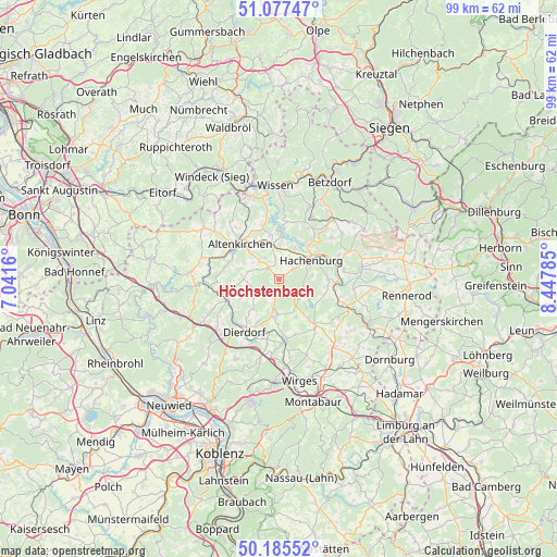
Höchstenbach GPS coordinates[2]
50° 38' 0.996" North, 7° 44' 40.992" East
| Map corner | latitude | longitude |
|---|---|---|
| Upper-left | 51.07747°, | 7.0416° |
| Center: | 50.63361°, | 7.74472° |
| Lower-right: | 50.18552°, | 8.44785° |
| Map W x H: | 99.2×99.2 km | = 61.6×61.6mi |
| max Lat: | 55.01917° ⇑49.6% North |
| Höchstenbach: | 50.63361° |
| min Lat: | ⇓50.4% South 47.40724° |
| min Long | Höchstenbach | max Long |
| 5.92978° | 7.74472° | 14.98853° |
| W 17.8%⇐ | ⇒82.2% E |
Elevation
Elevation of Höchstenbach is 297 m = 974 ft, and this is 47.9 m = 157 ft above average elevation for this country.
| Max E: |
1256 m = 4121 ft | 38.8% |
| Höchstenbach | 297 m 974 ft | |
| Avg. | 249.1 m = 817 ft | |
Min E: |
-5 m = -16 ft | 61.2% |
See also: Germany elevation on elevation.city.
Geographical zone
Höchstenbach is located in North temperate zone (between Tropic of Cancer and the Arctic Circle). Distance of this North polar circle is 1771.2 km =1100.6 mi to North.| Distance of | km | miles | from Höchstenbach |
|---|---|---|---|
| North Pole | 4377.1 | 2719.8 | to North |
| Arctic Circle | 1771.2 | 1100.6 | to North |
| Tropic Cancer | 3024 | 1879 | to South |
| Equator | 5629.9 | 3498.3 | to South |


Nearby cities:
15 places around Höchstenbach: (largest is in red/bold)
• Berod bei Höchstenbach
4 km =2.5 mi,  292°
292°
• Borod
4.5 km =2.8 mi,  326°
326°
• Gieleroth
5.7 km =3.5 mi,  310°
310°
• Hattert
4 km =2.5 mi,  22°
22°
• Herschbach
5.6 km =3.5 mi,  188°
188°
• Merkelbach
2.2 km =1.4 mi,  52°
52°
• Mudenbach
3.8 km =2.4 mi,  347°
347°
• Mündersbach
3.1 km =1.9 mi, 193°
• Oberdreis
5.6 km =3.5 mi,  260°
260°
• Roßbach
5.5 km =3.4 mi,  234°
234°
• Steinebach
5.1 km =3.2 mi,  121°
121°
• Wahlrod
2.7 km =1.7 mi, 312°
• Welkenbach
1.3 km =0.8 mi,  268°
268°
• Wied
1.1 km =0.7 mi, 54°
• Winkelbach
2 km =1.2 mi,  335°
335°
Sources, notices
• [Note1] Compared only with cities in Germany existing in our database
• [Src1] Map data: © OpenStreetMap contributors (CC-BY-SA)
• [Src2] Other city data from geonames.org with taken over terms of usage.
• [Src3] Geographical zone / Annual Mean Temperature by Robert A. Rohde @ Wikipedia
