Hemmoor geodata
Hemmoor (Lower Saxony) is a populated place; located in Germany in Europe/Berlin (GMT+2) time zone. With population of 8,817 people, there are 1819 cities with bigger population in this country. Compared to other cities in Germany, 88.4% of cities are located further ↓South; 63.1% of cities are located further →East and 94.3% of cities have higher elevation than Hemmoor. Note1


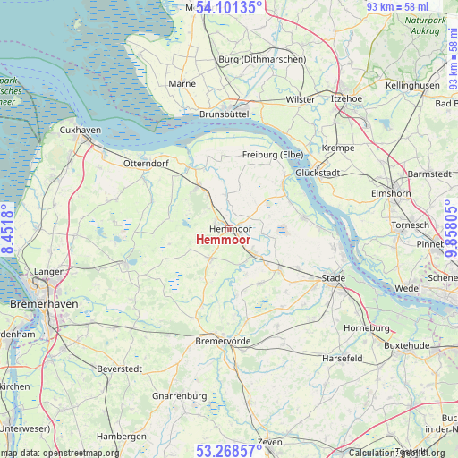
Hemmoor GPS coordinates[2]
53° 41' 13.272" North, 9° 9' 17.712" East
| Map corner | latitude | longitude |
|---|---|---|
| Upper-left | 54.10135°, | 8.4518° |
| Center: | 53.68702°, | 9.15492° |
| Lower-right: | 53.26857°, | 9.85805° |
| Map W x H: | 92.6×92.6 km | = 57.5×57.5mi |
| max Lat: | 55.01917° ⇑11.6% North |
| Hemmoor: | 53.68702° |
| min Lat: | ⇓88.4% South 47.40724° |
| min Long | Hemmoor | max Long |
| 5.92978° | 9.15492° | 14.98853° |
| W 36.9%⇐ | ⇒63.1% E |
Elevation
Elevation of Hemmoor is 10 m = 33 ft, and this is 239.1 m = 784 ft below average elevation for this country.
| Max E: |
1256 m = 4121 ft | 94.3% |
| Avg. | 249.1 m = 817 ft | |
| Hemmoor | 10 m = 33 ft | |
Min E: |
-5 m = -16 ft | 5.7% |
See also: Germany elevation on elevation.city.
Geographical zone
Hemmoor is located in North temperate zone (between Tropic of Cancer and the Arctic Circle). Distance of this North polar circle is 1431.7 km =889.6 mi to North.| Distance of | km | miles | from Hemmoor |
|---|---|---|---|
| North Pole | 4037.6 | 2508.8 | to North |
| Arctic Circle | 1431.7 | 889.6 | to North |
| Tropic Cancer | 3363.5 | 2090 | to South |
| Equator | 5969.4 | 3709.2 | to South |


Nearby cities:
15 places around Hemmoor: (largest is in red/bold)
• Armstorf
11.3 km =7 mi,  211°
211°
• Burweg
10.1 km =6.3 mi,  133°
133°
• Cadenberge
11 km =6.8 mi,  326°
326°
• Engelschoff
12 km =7.5 mi,  100°
100°
• Estorf
12.7 km =7.9 mi,  165°
165°
• Großenwörden
7.4 km =4.6 mi,  93°
93°
• Hechthausen
7.6 km =4.7 mi, 132°
• Hollnseth
12.1 km =7.5 mi,  197°
197°
• Kranenburg
9.6 km =6 mi,  159°
159°
• Lamstedt
7 km =4.3 mi, 211°
• Mittelstenahe
9 km =5.6 mi,  242°
242°
• Oberndorf
7 km =4.3 mi,  357°
357°
• Osten
3.3 km =2.1 mi,  64°
64°
• Stinstedt
12.4 km =7.7 mi,  256°
256°
• Wingst
7.3 km =4.5 mi,  317°
317°
Sources, notices
• [Note1] Compared only with cities in Germany existing in our database
• [Src1] Map data: © OpenStreetMap contributors (CC-BY-SA)
• [Src2] Other city data from geonames.org with taken over terms of usage.
• [Src3] Geographical zone / Annual Mean Temperature by Robert A. Rohde @ Wikipedia
