Gangloffsömmern geodata
Gangloffsömmern (Thuringia) is a seat of a fourth-order administrative division; located in Germany in Europe/Berlin (GMT+2) time zone. With population of 1,217 people, there are 6517 cities with bigger population in this country. Compared to other cities in Germany, 61.4% of cities are located further ↓South; 66.1% of cities are located further ←West and 57.8% of cities have higher elevation than Gangloffsömmern. Note1


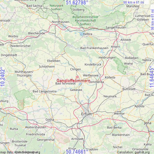
Gangloffsömmern GPS coordinates[2]
51° 11' 21.84" North, 10° 56' 35.952" East
| Map corner | latitude | longitude |
|---|---|---|
| Upper-left | 51.62798°, | 10.2402° |
| Center: | 51.1894°, | 10.94332° |
| Lower-right: | 50.74661°, | 11.64645° |
| Map W x H: | 98×98 km | = 60.9×60.9mi |
| max Lat: | 55.01917° ⇑38.6% North |
| Gangloffsömmern: | 51.1894° |
| min Lat: | ⇓61.4% South 47.40724° |
| min Long | Gangloffsömmer | max Long |
| 5.92978° | 10.94332° | 14.98853° |
| W 66.1%⇐ | ⇒33.9% E |
Elevation
Elevation of Gangloffsömmern is 169 m = 554 ft, and this is 80.1 m = 263 ft below average elevation for this country.
| Max E: |
1256 m = 4121 ft | 57.8% |
| Avg. | 249.1 m = 817 ft | |
| Gangloffsömmern | 169 m = 554 ft | |
Min E: |
-5 m = -16 ft | 42.2% |
See also: Germany elevation on elevation.city.
Geographical zone
Gangloffsömmern is located in North temperate zone (between Tropic of Cancer and the Arctic Circle). Distance of this North polar circle is 1709.4 km =1062.2 mi to North.| Distance of | km | miles | from Gangloffsömmern |
|---|---|---|---|
| North Pole | 4315.3 | 2681.4 | to North |
| Arctic Circle | 1709.4 | 1062.2 | to North |
| Tropic Cancer | 3085.8 | 1917.4 | to South |
| Equator | 5691.7 | 3536.7 | to South |


Nearby cities:
15 places around Gangloffsömmern: (largest is in red/bold)
• Bad Tennstedt
8.3 km =5.2 mi,  241°
241°
• Clingen
4.8 km =3 mi,  351°
351°
• Gebesee
8.3 km =5.2 mi,  184°
184°
• Greußen
4.5 km =2.8 mi,  0°
0°
• Haussömmern
8.9 km =5.5 mi,  265°
265°
• Henschleben
6.4 km =4 mi,  165°
165°
• Herrnschwende
5 km =3.1 mi,  52°
52°
• Schwerstedt
4.1 km =2.5 mi,  202°
202°
• Straußfurt
3.8 km =2.4 mi,  132°
132°
• Topfstedt
8.7 km =5.4 mi,  10°
10°
• Wasserthaleben
7.9 km =4.9 mi,  328°
328°
• Weißensee
8.8 km =5.5 mi,  82°
82°
• Werningshausen
6.9 km =4.3 mi,  143°
143°
• Westgreußen
5.7 km =3.5 mi,  342°
342°
• Wundersleben
7.7 km =4.8 mi,  120°
120°
Sources, notices
• [Note1] Compared only with cities in Germany existing in our database
• [Src1] Map data: © OpenStreetMap contributors (CC-BY-SA)
• [Src2] Other city data from geonames.org with taken over terms of usage.
• [Src3] Geographical zone / Annual Mean Temperature by Robert A. Rohde @ Wikipedia
