Clingen geodata
Clingen (Thuringia) is a populated place; located in Germany in Europe/Berlin (GMT+2) time zone. With population of 1,103 people, there are 6837 cities with bigger population in this country. Compared to other cities in Germany, 62% of cities are located further ↓South; 66% of cities are located further ←West and 58.2% of cities have higher elevation than Clingen. Note1


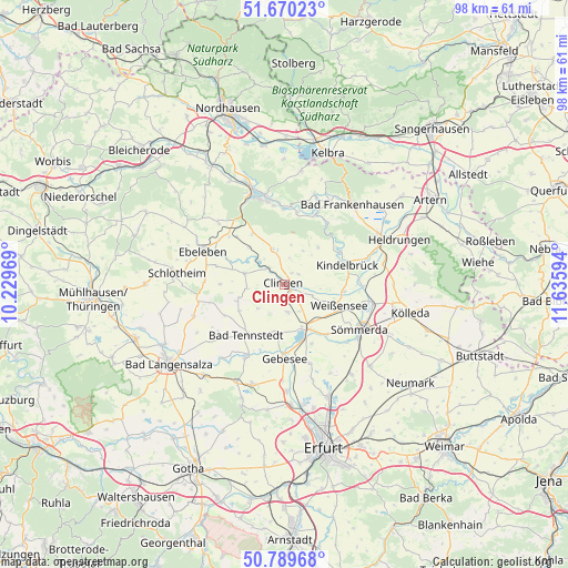
Clingen GPS coordinates[2]
51° 13' 55.416" North, 10° 55' 58.116" East
| Map corner | latitude | longitude |
|---|---|---|
| Upper-left | 51.67023°, | 10.22969° |
| Center: | 51.23206°, | 10.93281° |
| Lower-right: | 50.78968°, | 11.63594° |
| Map W x H: | 97.9×97.9 km | = 60.8×60.8mi |
| max Lat: | 55.01917° ⇑38% North |
| Clingen: | 51.23206° |
| min Lat: | ⇓62% South 47.40724° |
| min Long | Clingen | max Long |
| 5.92978° | 10.93281° | 14.98853° |
| W 66%⇐ | ⇒34% E |
Elevation
Elevation of Clingen is 166 m = 545 ft, and this is 83.1 m = 273 ft below average elevation for this country.
| Max E: |
1256 m = 4121 ft | 58.2% |
| Avg. | 249.1 m = 817 ft | |
| Clingen | 166 m = 545 ft | |
Min E: |
-5 m = -16 ft | 41.8% |
See also: Germany elevation on elevation.city.
Geographical zone
Clingen is located in North temperate zone (between Tropic of Cancer and the Arctic Circle). Distance of this North polar circle is 1704.7 km =1059.3 mi to North.| Distance of | km | miles | from Clingen |
|---|---|---|---|
| North Pole | 4310.6 | 2678.5 | to North |
| Arctic Circle | 1704.7 | 1059.3 | to North |
| Tropic Cancer | 3090.6 | 1920.4 | to South |
| Equator | 5696.5 | 3539.6 | to South |


Nearby cities:
15 places around Clingen: (largest is in red/bold)
• Frömmstedt
8.1 km =5 mi,  66°
66°
• Gangloffsömmern
4.8 km =3 mi,  171°
171°
• Greußen
0.8 km =0.5 mi,  108°
108°
• Großenehrich
7.1 km =4.4 mi,  284°
284°
• Herrnschwende
5 km =3.1 mi, 110°
• Hornsömmern
8.3 km =5.2 mi,  258°
258°
• Mittelsömmern
8.8 km =5.5 mi,  246°
246°
• Niederbösa
6.1 km =3.8 mi,  50°
50°
• Oberbösa
8.6 km =5.3 mi,  42°
42°
• Schwerstedt
8.5 km =5.3 mi,  185°
185°
• Straußfurt
8.1 km =5 mi,  154°
154°
• Topfstedt
4.5 km =2.8 mi,  31°
31°
• Trebra
6.7 km =4.2 mi, 31°
• Wasserthaleben
4 km =2.5 mi,  300°
300°
• Westgreußen
1.2 km =0.7 mi,  307°
307°
Sources, notices
• [Note1] Compared only with cities in Germany existing in our database
• [Src1] Map data: © OpenStreetMap contributors (CC-BY-SA)
• [Src2] Other city data from geonames.org with taken over terms of usage.
• [Src3] Geographical zone / Annual Mean Temperature by Robert A. Rohde @ Wikipedia
