Dunzweiler geodata
Dunzweiler (Rheinland-Pfalz) is a seat of a fourth-order administrative division; located in Germany in Europe/Berlin (GMT+2) time zone. With population of 949 people, there are 7350 cities with bigger population in this country. Compared to other cities in Germany, 77% of cities are located further ↑North; 89.8% of cities are located further →East and 69.5% of cities have lower elevation than Dunzweiler. Note1


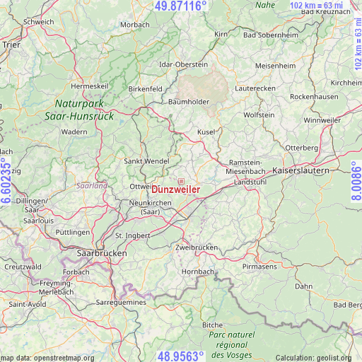
Dunzweiler GPS coordinates[2]
49° 24' 57.096" North, 7° 18' 19.728" East
| Map corner | latitude | longitude |
|---|---|---|
| Upper-left | 49.87116°, | 6.60235° |
| Center: | 49.41586°, | 7.30548° |
| Lower-right: | 48.9563°, | 8.0086° |
| Map W x H: | 101.7×101.7 km | = 63.2×63.2mi |
| max Lat: | 55.01917° ⇑77% North |
| Dunzweiler: | 49.41586° |
| min Lat: | ⇓23% South 47.40724° |
| min Long | Dunzweiler | max Long |
| 5.92978° | 7.30548° | 14.98853° |
| W 10.2%⇐ | ⇒89.8% E |
Elevation
Elevation of Dunzweiler is 355 m = 1165 ft, and this is 105.9 m = 347 ft above average elevation for this country.
| Max E: |
1256 m = 4121 ft | 30.5% |
| Dunzweiler | 355 m 1165 ft | |
| Avg. | 249.1 m = 817 ft | |
Min E: |
-5 m = -16 ft | 69.5% |
See also: Germany elevation on elevation.city.
Geographical zone
Dunzweiler is located in North temperate zone (between Tropic of Cancer and the Arctic Circle). Distance of this North polar circle is 1906.6 km =1184.7 mi to North.| Distance of | km | miles | from Dunzweiler |
|---|---|---|---|
| North Pole | 4512.5 | 2803.9 | to North |
| Arctic Circle | 1906.6 | 1184.7 | to North |
| Tropic Cancer | 2888.6 | 1794.9 | to South |
| Equator | 5494.5 | 3414.1 | to South |


Nearby cities:
15 places around Dunzweiler: (largest is in red/bold)
• Altenkirchen
3.2 km =2 mi,  20°
20°
• Bexbach
8.6 km =5.3 mi,  205°
205°
• Breitenbach
3.4 km =2.1 mi,  304°
304°
• Brücken
4.3 km =2.7 mi,  65°
65°
• Börsborn
7.1 km =4.4 mi, 74°
• Dittweiler
2.7 km =1.7 mi,  53°
53°
• Frohnhofen
4.2 km =2.6 mi,  354°
354°
• Gries
6.8 km =4.2 mi,  89°
89°
• Hangard
7.8 km =4.8 mi,  241°
241°
• Herschweiler-Pettersheim
8.2 km =5.1 mi, 23°
• Krottelbach
6 km =3.7 mi, 19°
• Langenbach
8.8 km =5.5 mi,  10°
10°
• Ohmbach
5 km =3.1 mi,  40°
40°
• Schönenberg-Kübelberg
4.9 km =3 mi,  101°
101°
• Waldmohr
4.1 km =2.5 mi,  150°
150°
Sources, notices
• [Note1] Compared only with cities in Germany existing in our database
• [Src1] Map data: © OpenStreetMap contributors (CC-BY-SA)
• [Src2] Other city data from geonames.org with taken over terms of usage.
• [Src3] Geographical zone / Annual Mean Temperature by Robert A. Rohde @ Wikipedia
