Dessighofen geodata
Dessighofen (Rheinland-Pfalz) is a seat of a fourth-order administrative division; located in Germany in Europe/Berlin (GMT+2) time zone. With population of 182 people, there are 10552 cities with bigger population in this country. Compared to other cities in Germany, 57.6% of cities are located further ↑North; 81.5% of cities are located further →East and 52.3% of cities have lower elevation than Dessighofen. Note1


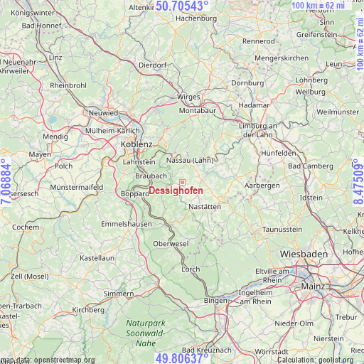
Dessighofen GPS coordinates[2]
50° 15' 28.872" North, 7° 46' 19.092" East
| Map corner | latitude | longitude |
|---|---|---|
| Upper-left | 50.70543°, | 7.06884° |
| Center: | 50.25802°, | 7.77197° |
| Lower-right: | 49.80637°, | 8.47509° |
| Map W x H: | 100×100 km | = 62.1×62.1mi |
| max Lat: | 55.01917° ⇑57.6% North |
| Dessighofen: | 50.25802° |
| min Lat: | ⇓42.4% South 47.40724° |
| min Long | Dessighofen | max Long |
| 5.92978° | 7.77197° | 14.98853° |
| W 18.5%⇐ | ⇒81.5% E |
Elevation
Elevation of Dessighofen is 242 m = 794 ft, and this is 7.1 m = 23 ft below average elevation for this country.
| Max E: |
1256 m = 4121 ft | 47.7% |
| Avg. | 249.1 m = 817 ft | |
| Dessighofen | 242 m = 794 ft | |
Min E: |
-5 m = -16 ft | 52.3% |
See also: Germany elevation on elevation.city.
Geographical zone
Dessighofen is located in North temperate zone (between Tropic of Cancer and the Arctic Circle). Distance of this North polar circle is 1813 km =1126.5 mi to North.| Distance of | km | miles | from Dessighofen |
|---|---|---|---|
| North Pole | 4418.9 | 2745.8 | to North |
| Arctic Circle | 1813 | 1126.5 | to North |
| Tropic Cancer | 2982.2 | 1853.1 | to South |
| Equator | 5588.2 | 3472.3 | to South |


Nearby cities:
15 places around Dessighofen: (largest is in red/bold)
• Berg
2.8 km =1.7 mi,  98°
98°
• Dachsenhausen
3.2 km =2 mi,  262°
262°
• Dornholzhausen
1.9 km =1.2 mi,  42°
42°
• Ehr
2.4 km =1.5 mi,  158°
158°
• Geisig
1.4 km =0.9 mi,  109°
109°
• Gemmerich
3.5 km =2.2 mi,  195°
195°
• Hainau
4 km =2.5 mi,  169°
169°
• Kehlbach
0.9 km =0.6 mi,  278°
278°
• Marienfels
3.5 km =2.2 mi,  123°
123°
• Niederbachheim
1.2 km =0.7 mi, 201°
• Oberbachheim
2.1 km =1.3 mi,  232°
232°
• Oberwies
3.5 km =2.2 mi,  10°
10°
• Schweighausen
3.2 km =2 mi,  330°
330°
• Singhofen
4.7 km =2.9 mi,  67°
67°
• Winterwerb
3.4 km =2.1 mi,  224°
224°
Sources, notices
• [Note1] Compared only with cities in Germany existing in our database
• [Src1] Map data: © OpenStreetMap contributors (CC-BY-SA)
• [Src2] Other city data from geonames.org with taken over terms of usage.
• [Src3] Geographical zone / Annual Mean Temperature by Robert A. Rohde @ Wikipedia
