Bogenhausen geodata
Bogenhausen (Bavaria) is a section of populated place; located in Germany in Europe/Berlin (GMT+2) time zone. With population of 77,542 people, there are 130 cities with bigger population in this country. Compared to other cities in Germany, 93.3% of cities are located further ↑North; 76% of cities are located further ←West and 90.6% of cities have lower elevation than Bogenhausen. Note1
Administrative division(s):
- Level 1: Bavaria
- Level 2: Upper Bavaria
- Level 3: Kreisfreie Stadt München
- Level 4: München, Landeshauptstadt


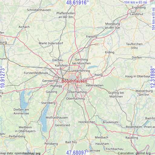
Bogenhausen GPS coordinates[2]
48° 9' 7.956" North, 11° 36' 57.06" East
| Map corner | latitude | longitude |
|---|---|---|
| Upper-left | 48.61916°, | 10.91273° |
| Center: | 48.15221°, | 11.61585° |
| Lower-right: | 47.68097°, | 12.31898° |
| Map W x H: | 104.3×104.3 km | = 64.8×64.8mi |
| max Lat: | 55.01917° ⇑93.3% North |
| Bogenhausen: | 48.15221° |
| min Lat: | ⇓6.7% South 47.40724° |
| min Long | Bogenhausen | max Long |
| 5.92978° | 11.61585° | 14.98853° |
| W 76%⇐ | ⇒24% E |
Elevation
Elevation of Bogenhausen is 521 m = 1709 ft, and this is 271.9 m = 892 ft above average elevation for this country.
| Max E: |
1256 m = 4121 ft | 9.4% |
| Bogenhausen | 521 m 1709 ft | |
| Avg. | 249.1 m = 817 ft | |
Min E: |
-5 m = -16 ft | 90.6% |
See also: Bogenhausen elevation on elevation.city.
Geographical zone
Bogenhausen is located in North temperate zone (between Tropic of Cancer and the Arctic Circle). Distance of this North polar circle is 2047.2 km =1272.1 mi to North.| Distance of | km | miles | from Bogenhausen |
|---|---|---|---|
| North Pole | 4653 | 2891.2 | to North |
| Arctic Circle | 2047.2 | 1272.1 | to North |
| Tropic Cancer | 2748.1 | 1707.6 | to South |
| Equator | 5354 | 3326.8 | to South |


Nearby cities:
15 places around Bogenhausen: (largest is in red/bold)
• Aschheim
7.8 km =4.8 mi,  74°
74°
• Feldkirchen
8.6 km =5.3 mi,  93°
93°
• Garching bei München
11.1 km =6.9 mi,  13°
13°
• Haar
9.5 km =5.9 mi,  120°
120°
• Ismaning
10.3 km =6.4 mi,  29°
29°
• Kirchheim bei München
10.7 km =6.6 mi,  75°
75°
• Munich
3.4 km =2.1 mi,  241°
241°
• Neubiberg
8.9 km =5.5 mi,  159°
159°
• Oberschleißheim
11.5 km =7.1 mi,  341°
341°
• Ottobrunn
10.3 km =6.4 mi, 160°
• Pasing
11.9 km =7.4 mi,  264°
264°
• Putzbrunn
11.3 km =7 mi,  138°
138°
• Taufkirchen
11.5 km =7.1 mi,  179°
179°
• Unterföhring
4.9 km =3 mi,  24°
24°
• Unterhaching
9.6 km =6 mi, 180°
Sources, notices
• [Note1] Compared only with cities in Germany existing in our database
• [Src1] Map data: © OpenStreetMap contributors (CC-BY-SA)
• [Src2] Other city data from geonames.org with taken over terms of usage.
• [Src3] Geographical zone / Annual Mean Temperature by Robert A. Rohde @ Wikipedia
