Bischofferode geodata
Bischofferode (Thuringia) is a populated place; located in Germany in Europe/Berlin (GMT+2) time zone. With population of 2,085 people, there are 4946 cities with bigger population in this country. Compared to other cities in Germany, 66.2% of cities are located further ↓South; 57.9% of cities are located further ←West and 61.5% of cities have lower elevation than Bischofferode. Note1


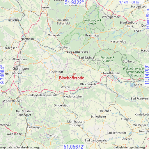
Bischofferode GPS coordinates[2]
51° 29' 47.616" North, 10° 26' 38.256" East
| Map corner | latitude | longitude |
|---|---|---|
| Upper-left | 51.9322°, | 9.74084° |
| Center: | 51.49656°, | 10.44396° |
| Lower-right: | 51.05672°, | 11.14709° |
| Map W x H: | 97.3×97.3 km | = 60.5×60.5mi |
| max Lat: | 55.01917° ⇑33.8% North |
| Bischofferode: | 51.49656° |
| min Lat: | ⇓66.2% South 47.40724° |
| min Long | Bischofferode | max Long |
| 5.92978° | 10.44396° | 14.98853° |
| W 57.9%⇐ | ⇒42.1% E |
Elevation
Elevation of Bischofferode is 299 m = 981 ft, and this is 49.9 m = 164 ft above average elevation for this country.
| Max E: |
1256 m = 4121 ft | 38.5% |
| Bischofferode | 299 m 981 ft | |
| Avg. | 249.1 m = 817 ft | |
Min E: |
-5 m = -16 ft | 61.5% |
See also: Germany elevation on elevation.city.
Geographical zone
Bischofferode is located in North temperate zone (between Tropic of Cancer and the Arctic Circle). Distance of this North polar circle is 1675.3 km =1041 mi to North.| Distance of | km | miles | from Bischofferode |
|---|---|---|---|
| North Pole | 4281.2 | 2660.2 | to North |
| Arctic Circle | 1675.3 | 1041 | to North |
| Tropic Cancer | 3120 | 1938.7 | to South |
| Equator | 5725.9 | 3557.9 | to South |


Nearby cities:
15 places around Bischofferode: (largest is in red/bold)
• Brehme
5.9 km =3.7 mi,  267°
267°
• Breitenworbis
9.4 km =5.8 mi,  186°
186°
• Buhla
7.1 km =4.4 mi, 185°
• Ecklingerode
8.8 km =5.5 mi, 272°
• Großbodungen
3.5 km =2.2 mi,  132°
132°
• Haynrode
5.7 km =3.5 mi,  178°
178°
• Holungen
3.5 km =2.2 mi,  260°
260°
• Jützenbach
5.5 km =3.4 mi,  305°
305°
• Kleinbodungen
7 km =4.3 mi,  118°
118°
• Kraja
7.2 km =4.5 mi,  135°
135°
• Lipprechterode
8.7 km =5.4 mi, 119°
• Neustadt
3.6 km =2.2 mi,  153°
153°
• Steinrode
3.4 km =2.1 mi,  80°
80°
• Wehnde
8.9 km =5.5 mi, 260°
• Weißenborn-Lüderode
4.3 km =2.7 mi,  336°
336°
Sources, notices
• [Note1] Compared only with cities in Germany existing in our database
• [Src1] Map data: © OpenStreetMap contributors (CC-BY-SA)
• [Src2] Other city data from geonames.org with taken over terms of usage.
• [Src3] Geographical zone / Annual Mean Temperature by Robert A. Rohde @ Wikipedia
