Andervenne Oberdorf geodata
Andervenne Oberdorf (Lower Saxony) is a populated place; located in Germany in Europe/Berlin (GMT+2) time zone. With population of 935 people, there are 7405 cities with bigger population in this country. Compared to other cities in Germany, 77.6% of cities are located further ↓South; 85.4% of cities are located further →East and 83.7% of cities have higher elevation than Andervenne Oberdorf. Note1


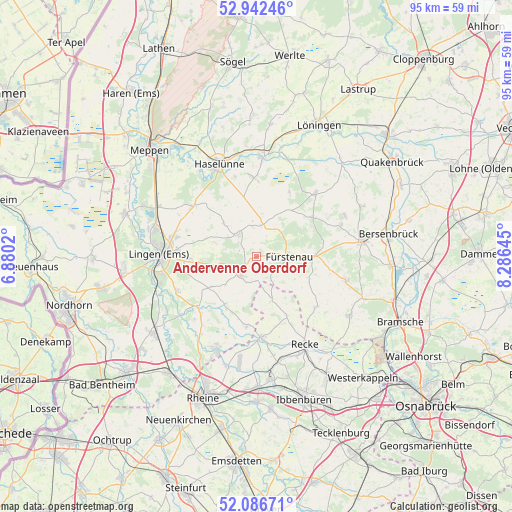
Andervenne Oberdorf GPS coordinates[2]
52° 31' 0.012" North, 7° 34' 59.988" East
| Map corner | latitude | longitude |
|---|---|---|
| Upper-left | 52.94246°, | 6.8802° |
| Center: | 52.51667°, | 7.58333° |
| Lower-right: | 52.08671°, | 8.28645° |
| Map W x H: | 95.2×95.1 km | = 59.2×59.1mi |
| max Lat: | 55.01917° ⇑22.4% North |
| Andervenne Oberdorf: | 52.51667° |
| min Lat: | ⇓77.6% South 47.40724° |
| min Long | Andervenne Ober | max Long |
| 5.92978° | 7.58333° | 14.98853° |
| W 14.6%⇐ | ⇒85.4% E |
Elevation
Elevation of Andervenne Oberdorf is 38 m = 125 ft, and this is 211.1 m = 693 ft below average elevation for this country.
| Max E: |
1256 m = 4121 ft | 83.7% |
| Avg. | 249.1 m = 817 ft | |
| Andervenne Oberdorf | 38 m = 125 ft | |
Min E: |
-5 m = -16 ft | 16.3% |
See also: Germany elevation on elevation.city.
Geographical zone
Andervenne Oberdorf is located in North temperate zone (between Tropic of Cancer and the Arctic Circle). Distance of this North polar circle is 1561.9 km =970.5 mi to North.| Distance of | km | miles | from Andervenne Oberdorf |
|---|---|---|---|
| North Pole | 4167.8 | 2589.8 | to North |
| Arctic Circle | 1561.9 | 970.5 | to North |
| Tropic Cancer | 3233.4 | 2009.1 | to South |
| Equator | 5839.3 | 3628.4 | to South |


Nearby cities:
15 places around Andervenne Oberdorf: (largest is in red/bold)
• Beesten
10.8 km =6.7 mi,  211°
211°
• Bippen
12.6 km =7.8 mi,  53°
53°
• Dohren
14.8 km =9.2 mi,  0°
0°
• Freren
4.3 km =2.7 mi,  219°
219°
• Fürstenau
6.3 km =3.9 mi,  90°
90°
• Gersten
8.7 km =5.4 mi,  328°
328°
• Handrup
5.3 km =3.3 mi,  355°
355°
• Langen
8.3 km =5.2 mi,  288°
288°
• Lengerich
5.4 km =3.4 mi,  319°
319°
• Lünne
14.4 km =8.9 mi,  227°
227°
• Messingen
9.7 km =6 mi, 234°
• Schapen
13 km =8.1 mi,  184°
184°
• Thuine
7 km =4.3 mi,  254°
254°
• Voltlage
14.6 km =9.1 mi,  129°
129°
• Wettrup
8.1 km =5 mi,  7°
7°
Sources, notices
• [Note1] Compared only with cities in Germany existing in our database
• [Src1] Map data: © OpenStreetMap contributors (CC-BY-SA)
• [Src2] Other city data from geonames.org with taken over terms of usage.
• [Src3] Geographical zone / Annual Mean Temperature by Robert A. Rohde @ Wikipedia
