Fürstenau geodata
Fürstenau (Lower Saxony) is a populated place; located in Germany in Europe/Berlin (GMT+2) time zone. With population of 9,946 people, there are 1641 cities with bigger population in this country. Compared to other cities in Germany, 77.6% of cities are located further ↓South; 83.5% of cities are located further →East and 78.9% of cities have higher elevation than Fürstenau. Note1


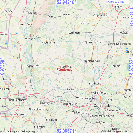
Fürstenau GPS coordinates[2]
52° 31' 0.012" North, 7° 40' 36.12" East
| Map corner | latitude | longitude |
|---|---|---|
| Upper-left | 52.94246°, | 6.97358° |
| Center: | 52.51667°, | 7.6767° |
| Lower-right: | 52.08671°, | 8.37983° |
| Map W x H: | 95.2×95.1 km | = 59.2×59.1mi |
| max Lat: | 55.01917° ⇑22.4% North |
| Fürstenau: | 52.51667° |
| min Lat: | ⇓77.6% South 47.40724° |
| min Long | Fürstenau | max Long |
| 5.92978° | 7.6767° | 14.98853° |
| W 16.5%⇐ | ⇒83.5% E |
Elevation
Elevation of Fürstenau is 50 m = 164 ft, and this is 199.1 m = 653 ft below average elevation for this country.
| Max E: |
1256 m = 4121 ft | 78.9% |
| Avg. | 249.1 m = 817 ft | |
| Fürstenau | 50 m = 164 ft | |
Min E: |
-5 m = -16 ft | 21.1% |
See also: Germany elevation on elevation.city.
Geographical zone
Fürstenau is located in North temperate zone (between Tropic of Cancer and the Arctic Circle). Distance of this North polar circle is 1561.9 km =970.5 mi to North.| Distance of | km | miles | from Fürstenau |
|---|---|---|---|
| North Pole | 4167.8 | 2589.8 | to North |
| Arctic Circle | 1561.9 | 970.5 | to North |
| Tropic Cancer | 3233.4 | 2009.1 | to South |
| Equator | 5839.3 | 3628.4 | to South |


Nearby cities:
15 places around Fürstenau: (largest is in red/bold)
• Andervenne Oberdorf
6.3 km =3.9 mi,  270°
270°
• Ankum
14.5 km =9 mi,  75°
75°
• Berge
12.7 km =7.9 mi,  21°
21°
• Bippen
8.3 km =5.2 mi,  27°
27°
• Eggermühlen
11 km =6.8 mi,  59°
59°
• Freren
9.6 km =6 mi,  249°
249°
• Gersten
13.1 km =8.1 mi,  304°
304°
• Handrup
8.6 km =5.3 mi,  308°
308°
• Kettenkamp
12.9 km =8 mi, 55°
• Langen
14.4 km =8.9 mi,  280°
280°
• Lengerich
10.6 km =6.6 mi,  292°
292°
• Merzen
11.2 km =7 mi,  109°
109°
• Thuine
13.2 km =8.2 mi,  261°
261°
• Voltlage
10.5 km =6.5 mi,  151°
151°
• Wettrup
9.6 km =6 mi,  326°
326°
Sources, notices
• [Note1] Compared only with cities in Germany existing in our database
• [Src1] Map data: © OpenStreetMap contributors (CC-BY-SA)
• [Src2] Other city data from geonames.org with taken over terms of usage.
• [Src3] Geographical zone / Annual Mean Temperature by Robert A. Rohde @ Wikipedia
