Helsingør geodata
Helsingør (Capital Region) is a seat of a second-order administrative division; located in Denmark in Europe/Copenhagen (GMT+2) time zone. With population of 35,048 people, there are 21 cities with bigger population in this country. Compared to other cities in Denmark, 66.7% of cities are located further ↓South; 98.5% of cities are located further ←West and 83.3% of cities have higher elevation than Helsingør. Note1


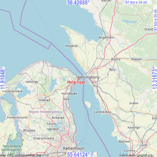
Helsingør GPS coordinates[2]
56° 2' 9.816" North, 12° 36' 48.96" East
| Map corner | latitude | longitude |
|---|---|---|
| Upper-left | 56.42688°, | 11.91048° |
| Center: | 56.03606°, | 12.6136° |
| Lower-right: | 55.64124°, | 13.31673° |
| Map W x H: | 87.4×87.4 km | = 54.3×54.3mi |
| max Lat: | 57.72093° ⇑33.3% North |
| Helsingør: | 56.03606° |
| min Lat: | ⇓66.7% South 54.57644° |
| min Long | Helsingør | max Long |
| 8.12605° | 12.6136° | 15.18662° |
| W 98.5%⇐ | ⇒1.5% E |
Elevation
Elevation of Helsingør is 8 m = 26 ft, and this is 19.3 m = 63 ft below average elevation for this country.
| Max E: |
114 m = 374 ft | 83.3% |
| Avg. | 27.3 m = 90 ft | |
| Helsingør | 8 m = 26 ft | |
Min E: |
0 m = 0 ft | 16.7% |
See also: Denmark elevation on elevation.city.
Geographical zone
Helsingør is located in North temperate zone (between Tropic of Cancer and the Arctic Circle). Distance of this North polar circle is 1170.5 km =727.3 mi to North.| Distance of | km | miles | from Helsingør |
|---|---|---|---|
| North Pole | 3776.4 | 2346.5 | to North |
| Arctic Circle | 1170.5 | 727.3 | to North |
| Tropic Cancer | 3624.7 | 2252.3 | to South |
| Equator | 6230.6 | 3871.5 | to South |


Nearby cities:
15 places around Helsingør: (largest is in red/bold)
• Birkerød
23.9 km =14.9 mi,  208°
208°
• Blovstrød
23.2 km =14.4 mi,  217°
217°
• Espergærde
6.2 km =3.9 mi, 221°
• Fredensborg
14.7 km =9.1 mi,  242°
242°
• Gilleleje
21.1 km =13.1 mi,  296°
296°
• Græsted
20.7 km =12.9 mi,  279°
279°
• Hellebæk
5 km =3.1 mi,  315°
315°
• Hillerød
22.9 km =14.2 mi, 238°
• Hornbæk
11.4 km =7.1 mi, 301°
• Humlebæk
9.6 km =6 mi, 210°
• Hørsholm
18.6 km =11.6 mi,  202°
202°
• Kokkedal
15.5 km =9.6 mi, 207°
• Nivå
13.2 km =8.2 mi, 210°
• Nødebo
17.8 km =11.1 mi,  248°
248°
• Trørød
22.3 km =13.9 mi,  191°
191°
In other languages:
- In Spanish: Elsinor
- In France: Elseneur
- In Italian: Elsinore
- In Russian: Хельсингёр
- In Chinese: 赫爾辛格
Sources, notices
• [Note1] Compared only with cities in Denmark existing in our database
• [Src1] Map data: © OpenStreetMap contributors (CC-BY-SA)
• [Src2] Other city data from geonames.org with taken over terms of usage.
• [Src3] Geographical zone / Annual Mean Temperature by Robert A. Rohde @ Wikipedia
