Græsted geodata
Græsted (Capital Region) is a populated place; located in Denmark in Europe/Copenhagen (GMT+2) time zone. With population of 3,310 people, there are 193 cities with bigger population in this country. Compared to other cities in Denmark, 68.1% of cities are located further ↓South; 85.7% of cities are located further ←West and 66.7% of cities have lower elevation than Græsted. Note1


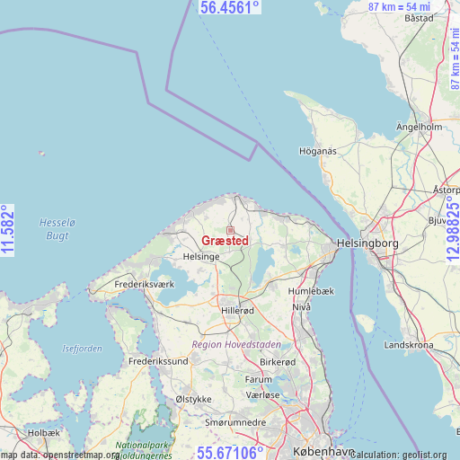
Græsted GPS coordinates[2]
56° 3' 56.088" North, 12° 17' 6.432" East
| Map corner | latitude | longitude |
|---|---|---|
| Upper-left | 56.4561°, | 11.582° |
| Center: | 56.06558°, | 12.28512° |
| Lower-right: | 55.67106°, | 12.98825° |
| Map W x H: | 87.3×87.3 km | = 54.2×54.2mi |
| max Lat: | 57.72093° ⇑31.9% North |
| Græsted: | 56.06558° |
| min Lat: | ⇓68.1% South 54.57644° |
| min Long | Græsted | max Long |
| 8.12605° | 12.28512° | 15.18662° |
| W 85.7%⇐ | ⇒14.3% E |
Elevation
Elevation of Græsted is 34 m = 112 ft, and this is 6.7 m = 22 ft above average elevation for this country.
| Max E: |
114 m = 374 ft | 33.3% |
| Græsted | 34 m 112 ft | |
| Avg. | 27.3 m = 90 ft | |
Min E: |
0 m = 0 ft | 66.7% |
See also: Denmark elevation on elevation.city.
Geographical zone
Græsted is located in North temperate zone (between Tropic of Cancer and the Arctic Circle). Distance of this North polar circle is 1167.3 km =725.3 mi to North.| Distance of | km | miles | from Græsted |
|---|---|---|---|
| North Pole | 3773.2 | 2344.6 | to North |
| Arctic Circle | 1167.3 | 725.3 | to North |
| Tropic Cancer | 3628 | 2254.3 | to South |
| Equator | 6233.9 | 3873.6 | to South |


Nearby cities:
15 places around Græsted: (largest is in red/bold)
• Espergærde
18.1 km =11.2 mi,  115°
115°
• Fredensborg
12.4 km =7.7 mi,  143°
143°
• Frederiksværk
19.4 km =12.1 mi,  237°
237°
• Gilleleje
6.5 km =4 mi,  14°
14°
• Hellebæk
16.9 km =10.5 mi,  89°
89°
• Helsinge
7.2 km =4.5 mi,  228°
228°
• Helsingør
20.7 km =12.9 mi,  99°
99°
• Hillerød
15.3 km =9.5 mi,  176°
176°
• Hornbæk
11 km =6.8 mi,  75°
75°
• Humlebæk
19.3 km =12 mi,  126°
126°
• Lillerød
21.5 km =13.4 mi,  169°
169°
• Liseleje
20.7 km =12.9 mi,  253°
253°
• Nivå
20 km =12.4 mi, 136°
• Nødebo
10.4 km =6.5 mi,  158°
158°
• Skævinge
19.4 km =12.1 mi,  205°
205°
Sources, notices
• [Note1] Compared only with cities in Denmark existing in our database
• [Src1] Map data: © OpenStreetMap contributors (CC-BY-SA)
• [Src2] Other city data from geonames.org with taken over terms of usage.
• [Src3] Geographical zone / Annual Mean Temperature by Robert A. Rohde @ Wikipedia
