Ruhnu geodata
Ruhnu (Saare) is a seat of a second-order administrative division; located in Estonia in Europe/Tallinn (GMT+3) time zone. With population of 64 people, there are 183 cities with bigger population in this country. Compared to other cities in Estonia, 98.4% of cities are located further ↑North; 94.2% of cities are located further →East and 83.7% of cities have higher elevation than Ruhnu. Note1


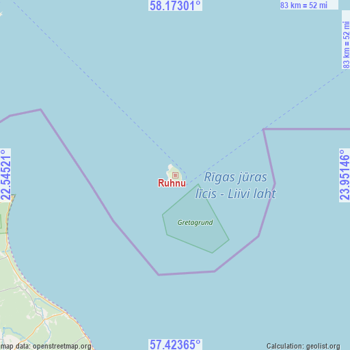
Ruhnu GPS coordinates[2]
57° 48' 1.008" North, 23° 14' 53.988" East
| Map corner | latitude | longitude |
|---|---|---|
| Upper-left | 58.17301°, | 22.54521° |
| Center: | 57.80028°, | 23.24833° |
| Lower-right: | 57.42365°, | 23.95146° |
| Map W x H: | 83.3×83.3 km | = 51.8×51.8mi |
| max Lat: | 59.57639° ⇑98.4% North |
| Ruhnu: | 57.80028° |
| min Lat: | ⇓1.6% South 57.72778° |
| min Long | Ruhnu | max Long |
| 22.24646° | 23.24833° | 28.19028° |
| W 5.8%⇐ | ⇒94.2% E |
Elevation
Elevation of Ruhnu is 20 m = 66 ft, and this is 33.2 m = 109 ft below average elevation for this country.
| Max E: |
141 m = 463 ft | 83.7% |
| Avg. | 53.2 m = 175 ft | |
| Ruhnu | 20 m = 66 ft | |
Min E: |
6 m = 20 ft | 16.3% |
See also: Estonia elevation on elevation.city.
Geographical zone
Ruhnu is located in North temperate zone (between Tropic of Cancer and the Arctic Circle). Distance of this North polar circle is 974.4 km =605.5 mi to North.| Distance of | km | miles | from Ruhnu |
|---|---|---|---|
| North Pole | 3580.3 | 2224.7 | to North |
| Arctic Circle | 974.4 | 605.5 | to North |
| Tropic Cancer | 3820.9 | 2374.2 | to South |
| Equator | 6426.8 | 3993.4 | to South |


Nearby cities:
15 places around Ruhnu: (largest is in red/bold)
• Aste
76.2 km =47.3 mi,  322°
322°
• Audru
94.6 km =58.8 mi,  44°
44°
• Häädemeeste
80 km =49.7 mi,  67°
67°
• Kuressaare
66.3 km =41.2 mi, 318°
• Kärla
83.2 km =51.7 mi, 315°
• Liiva
89.1 km =55.4 mi,  359°
359°
• Linaküla
56.9 km =35.4 mi,  48°
48°
• Orissaare
84.9 km =52.8 mi,  353°
353°
• Risti
91.4 km =56.8 mi,  22°
22°
• Salme
70.7 km =43.9 mi,  304°
304°
• Tehumardi
72.6 km =45.1 mi,  305°
305°
• Tõstamaa
73.9 km =45.9 mi, 36°
• Uulu
95.4 km =59.3 mi,  55°
55°
• Valjala
72.3 km =44.9 mi,  338°
338°
• Virtsu
87.1 km =54.1 mi,  10°
10°
Sources, notices
• [Note1] Compared only with cities in Estonia existing in our database
• [Src1] Map data: © OpenStreetMap contributors (CC-BY-SA)
• [Src2] Other city data from geonames.org with taken over terms of usage.
• [Src3] Geographical zone / Annual Mean Temperature by Robert A. Rohde @ Wikipedia
